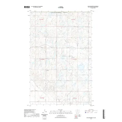
2020 Map of Lake Klingenberg
USGS Topo · Published 2020About this map
The Turtle Mountains define this landscape along the international border, where the high-altitude plateau is dotted with numerous small glacial lakes and wetlands. Lake Klingenberg sits centrally in a region characterized by its unique drainage patterns, including Oak Cr and Stone Cr. The presence of the Inherred-Lutheran Cem and Manger Cem provides critical anchors for genealogists researching the early Scandinavian and German Lutheran heritage of Bottineau County. This 2020 survey captures the modern road grid, including Town Line Rd and Co Rd 49, alongside recreational spaces like Winter Park. To the north, Boundary Butte stands near the Canadian line, marking the limit of this distinct topographic feature where the forest and lake country meet the open plains of the United States and Canada.
Find a feature on this map
42 named features on this map. Tap any name to fly to it.
Don’t see what you’re looking for? This feature index may not catch every label — zoom into the map to look around manually.
Map Details
Editions of this 2020 Lake Klingenberg Map
This is the sole edition of this map. No revisions or reprints were ever made.
Other maps of this area

1954 · Souris SE
USGS Topo · 1:24,000

1954 · Minot
USGS Topo · 1:250,000

1955 · Bottineau
USGS Topo · 1:24,000

1955 · Bottineau SE
USGS Topo · 1:24,000

1956 · Metigoshe Lake
USGS Topo · 1:24,000

1956 · Carbury
USGS Topo · 1:24,000

1956 · Lake McArthur
USGS Topo · 1:24,000

1958 · Minot
USGS Topo · 1:250,000

1980 · Bottineau
USGS Topo · 1:100,000
2011 · Carbury
USGS Topo · 1:24,000