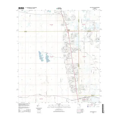
2015 Map of Lake Louisa SW
USGS Topo · Published 2015About this map
Citrus Ridge serves as a central hub on this Florida landscape, situated at the convergence of Lake, Polk, Orange, and Osceola counties. The map documents a period of significant residential expansion, characterized by a dense network of curvilinear streets and suburban developments such as Cagan Crossings Blvd and Legacy Blvd. This human development is woven into a terrain defined by a high density of solution lakes and depressional wetlands, reflecting the local karst topography.
Find a feature on this map
144 named features on this map. Tap any name to fly to it.
Don’t see what you’re looking for? This feature index may not catch every label — zoom into the map to look around manually.
Map Details
Editions of this 2015 Lake Louisa SW Map
This is the sole edition of this map. No revisions or reprints were ever made.
Other maps of this area

1944 · Polk City
USGS Topo · 1:31,680

1953 · Windermere
USGS Topo · 1:24,000

1953 · Intercession City
USGS Topo · 1:24,000

1953 · Davenport
USGS Topo · 1:24,000

1955 · Orlando
USGS Topo · 1:250,000

1957 · Orlando
USGS Topo · 1:250,000

1958 · Orlando
USGS Topo · 1:250,000

1959 · Gum Lake
USGS Topo · 1:24,000

1959 · Lake Nellie
USGS Topo · 1:24,000

1959 · Lake Louisa
USGS Topo · 1:24,000