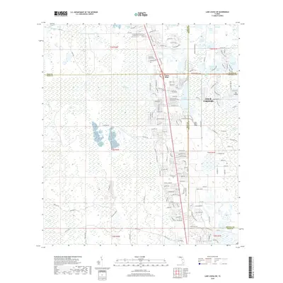
2018 Map of Lake Louisa SW
USGS Topo · Published 2018About this map
Citrus Ridge and the Four Corners region serve as the primary focus of this late-2010s survey, where the convergence of Lake, Polk, Orange, and Osceola counties creates a complex grid of residential development and hydrological features. The landscape is defined by the Lake Wales Ridge, a geologically significant upland that provides a distinct contrast to the surrounding lowlands. To the west, the massive expanse of the Green Swamp and Green Swamp Run dominate the terrain, illustrating the critical role of these wetlands in the regional water system.
Find a feature on this map
159 named features on this map. Tap any name to fly to it.
Don’t see what you’re looking for? This feature index may not catch every label — zoom into the map to look around manually.
Map Details
Editions of this 2018 Lake Louisa SW Map
This is the sole edition of this map. No revisions or reprints were ever made.
Other maps of this area

1944 · Polk City
USGS Topo · 1:31,680

1953 · Windermere
USGS Topo · 1:24,000

1953 · Intercession City
USGS Topo · 1:24,000

1953 · Davenport
USGS Topo · 1:24,000

1955 · Orlando
USGS Topo · 1:250,000

1957 · Orlando
USGS Topo · 1:250,000

1958 · Orlando
USGS Topo · 1:250,000

1959 · Gum Lake
USGS Topo · 1:24,000

1959 · Lake Nellie
USGS Topo · 1:24,000

1959 · Lake Louisa
USGS Topo · 1:24,000