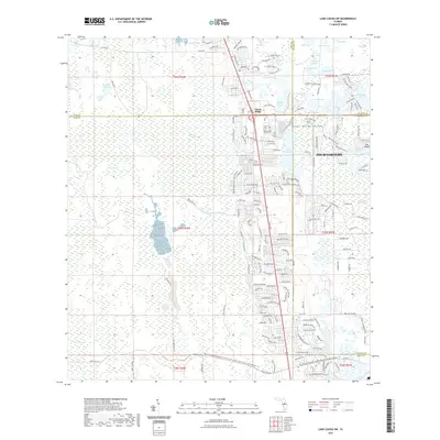
2021 Map of Lake Louisa SW
USGS Topo · Published 2021About this map
Four Corners serves as the focal point of this 2021 survey, where the borders of Lake, Orange, Polk, and Osceola counties converge. The landscape is defined by the eastern edge of the Green Swamp and the elevated terrain of the Lake Wales Ridge, creating a complex mosaic of hydrology and development. Densely clustered residential networks in Citrus Ridge contrast with the extensive wetlands to the west, including Big Creek and Turkey Creek. This era of central Florida's growth is characterized by significant suburban expansion reaching toward the natural boundaries of the Green Swamp Run. Notable water bodies such as Lake Davenport and Crooked Lake are surrounded by modern street grids, while the eastern margin reveals the transition into the Davenport Creek Swamp and the higher ground of Oak Island.
Find a feature on this map
186 named features on this map. Tap any name to fly to it.
Don’t see what you’re looking for? This feature index may not catch every label — zoom into the map to look around manually.
Map Details
Editions of this 2021 Lake Louisa SW Map
This is the sole edition of this map. No revisions or reprints were ever made.
Other maps of this area

1944 · Polk City
USGS Topo · 1:31,680

1953 · Windermere
USGS Topo · 1:24,000

1953 · Intercession City
USGS Topo · 1:24,000

1953 · Davenport
USGS Topo · 1:24,000

1955 · Orlando
USGS Topo · 1:250,000

1957 · Orlando
USGS Topo · 1:250,000

1958 · Orlando
USGS Topo · 1:250,000

1959 · Gum Lake
USGS Topo · 1:24,000

1959 · Lake Nellie
USGS Topo · 1:24,000

1959 · Lake Louisa
USGS Topo · 1:24,000