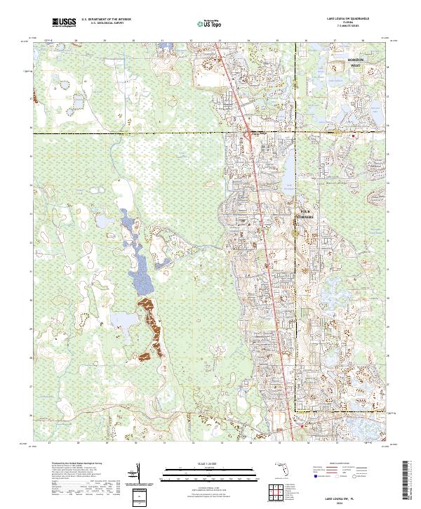
2024 Map of Lake Louisa SW
USGS Topo · Published 2024About this map
The Lake Wales Ridge dominates the eastern half of this landscape, where intense residential development meets a network of subtropical basins. Modern communities like Citrus Ridge and the sprawling intersection at Four Corners represent the rapid expansion in this corridor where Lake, Polk, Orange, and Osceola counties converge. The terrain is defined by a high density of water bodies, ranging from the large Lake Davenport to numerous smaller pools like Crooked Lake and Lake Oliver.
Find a feature on this map
202 named features on this map. Tap any name to fly to it.
Don’t see what you’re looking for? This feature index may not catch every label — zoom into the map to look around manually.
Map Details
Editions of this 2024 Lake Louisa SW Map
This is the sole edition of this map. No revisions or reprints were ever made.
Other maps of this area

1944 · Polk City
USGS Topo · 1:31,680

1953 · Windermere
USGS Topo · 1:24,000

1953 · Intercession City
USGS Topo · 1:24,000

1953 · Davenport
USGS Topo · 1:24,000

1955 · Orlando
USGS Topo · 1:250,000

1957 · Orlando
USGS Topo · 1:250,000

1958 · Orlando
USGS Topo · 1:250,000

1959 · Gum Lake
USGS Topo · 1:24,000

1959 · Lake Nellie
USGS Topo · 1:24,000

1959 · Lake Louisa
USGS Topo · 1:24,000