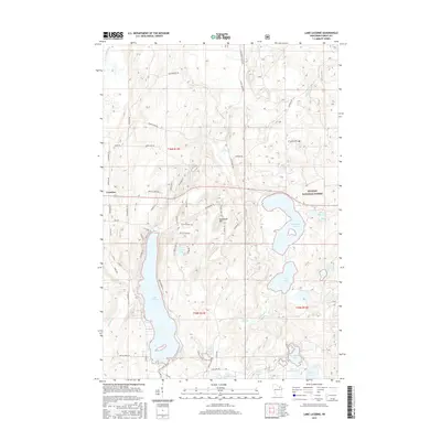
2015 Map of Lake Lucerne
USGS Topo · Published 2015About this map
Lake Lucerne and the surrounding glacial terrain of Forest County anchor this 2015 study of the north woods landscape. The city of Crandon sits at the western edge, providing an urban contrast to the densely lake-scattered topography of the Nicolet National Forest. Significant water bodies like Wabikon Lake, Devils Lake, and Riley Lake dominate the drainage patterns, while the elevation peaks at Sugarbush Hill. The map meticulously details a complex network of forest roads and trails, such as Potawatomi Trl and Mish Ko Swen Dr, which indicate the area's development for recreation and timber access. Local watercourses including the Indian River and Rat River provide a look at the hydraulic connectivity of these highlands, where numerous smaller basins like Popple Lake and Wyman Lake illustrate the high density of freshwater resources in this portion of Wisconsin.
Find a feature on this map
68 named features on this map. Tap any name to fly to it.
Don’t see what you’re looking for? This feature index may not catch every label — zoom into the map to look around manually.
Map Details
Editions of this 2015 Lake Lucerne Map
This is the sole edition of this map. No revisions or reprints were ever made.
Other maps of this area

1939 · Crandon
USGS Topo · 1:48,000

1939 · Laona
USGS Topo · 1:48,000

1941 · Crandon
USGS Topo · 1:48,000

1942 · Wabeno
USGS Topo · 1:48,000

1942 · Pearson
USGS Topo · 1:48,000

1946 · Laona
USGS Topo · 1:48,000

1947 · Crandon
USGS Topo · 1:48,000

1950 · Wabeno
USGS Topo · 1:48,000

1950 · Lily
USGS Topo · 1:48,000

1951 · Wabeno
USGS Topo · 1:48,000