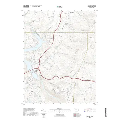
2019 Map of Lake Lynn
USGS Topo · Published 2019About this map
Cheat Lake dominates the central landscape of this borderland region where Pennsylvania meets West Virginia. The terrain transitions from the water-oriented communities of Sunset Beach and Cheat Neck to the high elevations of Chestnut Ridge and the forested expanse of Coopers Rock. This geography reflects a modern recreational shift from the area's industrial past, as seen in the Cheat Lake Rail-Trail following a former rail corridor along the eastern shoreline.
Find a feature on this map
170 named features on this map. Tap any name to fly to it.
Don’t see what you’re looking for? This feature index may not catch every label — zoom into the map to look around manually.
Map Details
Editions of this 2019 Lake Lynn Map
This is the sole edition of this map. No revisions or reprints were ever made.
Other maps of this area

1900 · Uniontown
USGS Topo · 1:62,500

1900 · Masontown
USGS Topo · 1:62,500

1902 · Morgantown
USGS Topo · 1:62,500

1903 · Masontown
USGS Topo · 1:62,500

1904 · Bruceton
USGS Topo · 1:62,500

1925 · Morgantown
USGS Topo · 1:62,500

1926 · Bruceton
USGS Topo · 1:62,500

1931 · Uniontown
USGS Topo · 1:62,500

1931 · Masontown
USGS Topo · 1:62,500

1931 · Bruceton Mills
USGS Topo · 1:62,500