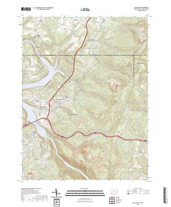
2023 Map of Lake Lynn
USGS Topo · Published 2023About this map
The Cheat River corridor defines this borderland between Pennsylvania and West Virginia, where the waters of Cheat Lake meet a landscape shaped by early industry and settlement. The map highlights the legacy of the region's iron heritage through names like Springhill Furnace RD and the Furnace Presbyterian Church Cem. Family history is deeply rooted here, evidenced by numerous small burial grounds including the Baker Family Cem, Lyons Cem, and Fletcher Cem scattered throughout the hollows.
Find a feature on this map
146 named features on this map. Tap any name to fly to it.
Don’t see what you’re looking for? This feature index may not catch every label — zoom into the map to look around manually.
Map Details
Editions of this 2023 Lake Lynn Map
This is the sole edition of this map. No revisions or reprints were ever made.
Other maps of this area

1900 · Uniontown
USGS Topo · 1:62,500

1900 · Masontown
USGS Topo · 1:62,500

1902 · Morgantown
USGS Topo · 1:62,500

1903 · Masontown
USGS Topo · 1:62,500

1904 · Bruceton
USGS Topo · 1:62,500

1925 · Morgantown
USGS Topo · 1:62,500

1926 · Bruceton
USGS Topo · 1:62,500

1931 · Uniontown
USGS Topo · 1:62,500

1931 · Masontown
USGS Topo · 1:62,500

1931 · Bruceton Mills
USGS Topo · 1:62,500