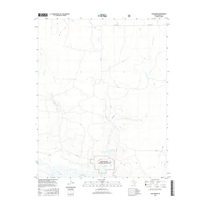
2016 Map of Lake Marvin
USGS Topo · Published 2016About this map
Black Kettle National Grassland dominates the southern landscape of this Hemphill County survey, providing a protected corridor for the area's vital water resources. The terrain is defined by the winding course of the Canadian River and several significant riparian systems that converge near the river's edge. Central to this map is the recreation and conservation hub surrounding Lake Marvin, situated just south of the M K Brown Reservoir and Lake Kiowa. The map details a network of ranch roads and local routes, including IV Ranch Rd and FM 2266, which provide access to the drainages of Persimmon Cr and the dual branches of Boggy Cr and Dry Fork Boggy Cr. This 2016 edition illustrates the careful management of grassland and water in a region where the high plains break toward the river valley.
Find a feature on this map
16 named features on this map. Tap any name to fly to it.
Don’t see what you’re looking for? This feature index may not catch every label — zoom into the map to look around manually.
Map Details
Editions of this 2016 Lake Marvin Map
This is the sole edition of this map. No revisions or reprints were ever made.
Other maps of this area

1954 · Perryton
USGS Topo · 1:250,000

1954 · Amarillo
USGS Topo · 1:250,000

1958 · Perryton
USGS Topo · 1:250,000

1958 · Amarillo
USGS Topo · 1:250,000

1967 · Gem
USGS Topo · 1:24,000

1967 · Blue Ridge School
USGS Topo · 1:24,000

1967 · Canadian SE
USGS Topo · 1:24,000

1972 · Canadian East
USGS Topo · 1:24,000

1972 · Glazier
USGS Topo · 1:24,000
1972 · Lake Marvin
USGS Topo · 1:24,000