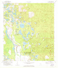
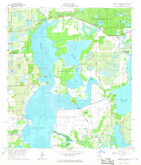
1972 Map of Lake Mary
USGS Topo · Published 1973About this map
The Ocala National Forest dominates this Central Florida landscape, where the meandering Oklawaha River defines the western boundary of a dense wetland ecosystem. Mapping conducted in the early 1970s reveals a region defined by its numerous isolated prairie basins, including Sellers Prairie, Indian Prairie, and Starks Prairie, which sit alongside a network of larger water bodies like Lake Mary and Doe Lake. The presence of a Cem and Claypit near Moss Bluff points to the localized industry and settlement patterns at the forest's edge. This area is characterized by unique geographic features such as Furtz Bear Hole and Greens Bear Hole, alongside organized recreational sites like Camp Oklawaha and the Big Scrub Camp. The map provides a distinct look at the transition between the river's floodplain and the pine-scrub interior before the surrounding counties saw significant modern expansion.
Find a feature on this map
50 named features on this map. Tap any name to fly to it.
Don’t see what you’re looking for? This feature index may not catch every label — zoom into the map to look around manually.
Map Details
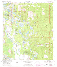
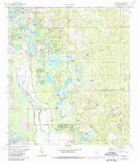
Editions of this 1972 Lake Mary Map
3 editions found
Other maps of this area

1954 · Daytona Beach
USGS Topo · 1:250,000

1955 · Orlando
USGS Topo · 1:250,000

1957 · Orlando
USGS Topo · 1:250,000

1958 · Orlando
USGS Topo · 1:250,000

1958 · Daytona Beach
USGS Topo · 1:250,000

1962 · Orlando
USGS Topo · 1:250,000

1964 · Daytona Beach
USGS Topo · 1:250,000

1965 · Umatilla
USGS Topo · 1:24,000
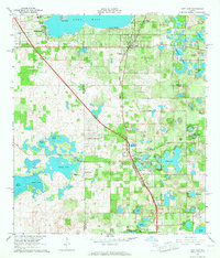
1966 · Lady Lake
USGS Topo · 1:24,000
1966 · Emeralda Island
USGS Topo · 1:24,000