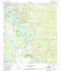
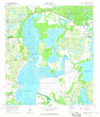
1972 Map of Lake Mary
USGS Topo · Published 1987About this map
The Oklawaha River carves through the western edge of this landscape, anchoring a region defined by complex hydrology and the expansive Ocala National Forest. The settlement of Moss Bluff sits near the river's bend, while the interior is marked by a distinctive pattern of named prairies and bear holes, such as Sellers Prairie and Volusia Bear Hole. These flat, open expanses contrast with a dense network of water bodies including Lake Mary, Lake Catherine, and Doe Lake. The presence of Big Scrub Camp and Camp Oklawaha suggests a mid-century character of outdoor recreation and forestry. To the north, Indian Prairie and Nancy Prairie illustrate the local nomenclature for these grassy openings. Human activity is evidenced by several claypits and a small Cem near the river, providing specific points of interest for local history researchers and genealogists tracing family ties to this corner of Marion County.
Find a feature on this map
50 named features on this map. Tap any name to fly to it.
Don’t see what you’re looking for? This feature index may not catch every label — zoom into the map to look around manually.
Map Details
Editions of this 1972 Lake Mary Map
3 editions found
Other maps of this area

1954 · Daytona Beach
USGS Topo · 1:250,000

1955 · Orlando
USGS Topo · 1:250,000

1957 · Orlando
USGS Topo · 1:250,000

1958 · Orlando
USGS Topo · 1:250,000

1958 · Daytona Beach
USGS Topo · 1:250,000

1962 · Orlando
USGS Topo · 1:250,000

1964 · Daytona Beach
USGS Topo · 1:250,000

1965 · Umatilla
USGS Topo · 1:24,000
1966 · Lady Lake
USGS Topo · 1:24,000
1966 · Emeralda Island
USGS Topo · 1:24,000