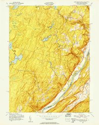
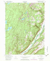
1954 Map of Lake Maskenozha
USGS Topo · Published 1955About this map
The Delaware River forms the central artery of this mid-century landscape, carving a sharp boundary between Pike County, Pennsylvania and Sussex County, New Jersey. In the mid-1950s, the region was defined by its recreational and agricultural character, with numerous seasonal retreats such as Camp Fire Girls Camp, Camp Massad, and Camp Log-N-Twig scattered across the elevations. The terrain is marked by significant hydrological features including Lake Maskenozha and the dramatic cascades at Silverthread Falls and High Falls. Small, localized settlements like Wallpack Center and Egypt Mills provide points of historical interest on either side of the river. The presence of a Firetower and the ridge of Kittatinny Mtn overlook a complex network of wetlands like Big Bear Swamp, reflecting a period when this stretch of the river valley remained primarily rural and focused on outdoor youth and community camps.
Find a feature on this map
35 named features on this map. Tap any name to fly to it.
Don’t see what you’re looking for? This feature index may not catch every label — zoom into the map to look around manually.
Map Details
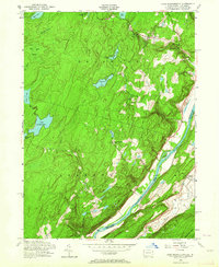
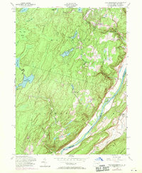
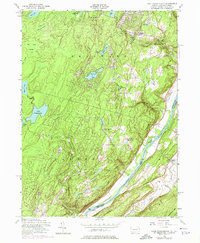
Editions of this 1954 Lake Maskenozha Map
5 editions found
Other maps of this area

1891 · Wallpack
USGS Topo · 1:62,500

1893 · Wallpack
USGS Topo · 1:62,500

1913 · Milford
USGS Topo · 1:62,500

1915 · Milford
USGS Topo · 1:62,500

1924 · Bushkill
USGS Topo · 1:48,000

1935 · Hawley
USGS Topo · 1:62,500

1938 · Hawley
USGS Topo · 1:62,500

1943 · Bushkill
USGS Topo · 1:62,500

1943 · Lake Maskenozha
USGS Topo · 1:31,680
1943 · Culvers Gap
USGS Topo · 1:31,680
Featured Places
- Delaware, Lehman Township
- Stillwater Township, NJ
- Wallpack Center, Walpack Township
- Lehman Township, PA
- Wild Acres, Delaware Township