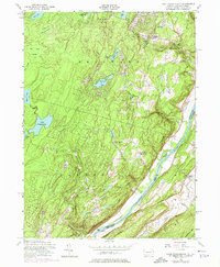
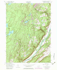
1954 Map of Lake Maskenozha
USGS Topo · Published 1975About this map
Lake Maskenozha and the surrounding highlands of Lehman and Delaware townships dominate this mid-century landscape. The area is defined by a dense network of water features and recreational camps, such as Camp Maasad, Camp Log-N-Twig, and the Camp Fire Girls Camp, reflecting the region's development as a seasonal retreat. Significant topographical relief is visible along the Delaware River corridor, where the land drops sharply from the plateaus down to the riverbanks, punctuated by notable cataracts including Dingmans Falls, Silverthread Falls, and Fulmer Falls.
Find a feature on this map
39 named features on this map. Tap any name to fly to it.
Don’t see what you’re looking for? This feature index may not catch every label — zoom into the map to look around manually.
Map Details
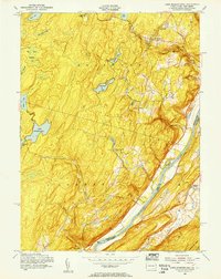
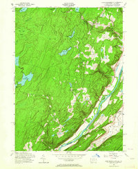
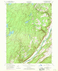
Editions of this 1954 Lake Maskenozha Map
5 editions found
Other maps of this area

1891 · Wallpack
USGS Topo · 1:62,500

1893 · Wallpack
USGS Topo · 1:62,500

1913 · Milford
USGS Topo · 1:62,500

1915 · Milford
USGS Topo · 1:62,500

1924 · Bushkill
USGS Topo · 1:48,000

1935 · Hawley
USGS Topo · 1:62,500

1938 · Hawley
USGS Topo · 1:62,500

1943 · Bushkill
USGS Topo · 1:62,500

1943 · Lake Maskenozha
USGS Topo · 1:31,680
1943 · Culvers Gap
USGS Topo · 1:31,680
Featured Places
- Delaware, Lehman Township
- Stillwater Township, NJ
- Wallpack Center, Walpack Township
- Lehman Township, PA
- Wild Acres, Delaware Township