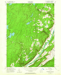
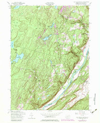
1954 Map of Lake Maskenozha
USGS Topo · Published 1964About this map
Lake Maskenozha anchors a landscape of summer camps and water features in this mid-century survey of the Delaware River Valley. The area is characterized by a high density of recreation sites, including Camp Massad, Camp Log-N-Twig, and the Camp Fire Girls Camp, reflecting the region's mid-century role as a retreat for organized youth groups and vacationers. Near the river, the settlement at Wallpack Center and the site of Egypt Mills represent the localized human footprint amidst the complex hydrology of Dingmans Creek and its notable cascades at Dingmans Falls and Silverthread Falls. The Delaware River serves as the state boundary between Pennsylvania and New Jersey, with Shapnack Island and the Flat Brook Valley defining the eastern terrain. Significant landmarks like the Firetower and Holy Trinity Ch provide fixed points for local historians and genealogists tracing the infrastructure of the northern Poconos.
Find a feature on this map
39 named features on this map. Tap any name to fly to it.
Don’t see what you’re looking for? This feature index may not catch every label — zoom into the map to look around manually.
Map Details
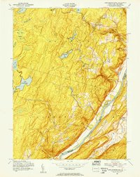
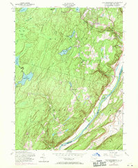
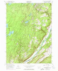
Editions of this 1954 Lake Maskenozha Map
5 editions found
Other maps of this area

1891 · Wallpack
USGS Topo · 1:62,500

1893 · Wallpack
USGS Topo · 1:62,500

1913 · Milford
USGS Topo · 1:62,500

1915 · Milford
USGS Topo · 1:62,500

1924 · Bushkill
USGS Topo · 1:48,000

1935 · Hawley
USGS Topo · 1:62,500

1938 · Hawley
USGS Topo · 1:62,500

1943 · Bushkill
USGS Topo · 1:62,500

1943 · Lake Maskenozha
USGS Topo · 1:31,680
1943 · Culvers Gap
USGS Topo · 1:31,680
Featured Places
- Delaware, Lehman Township
- Stillwater Township, NJ
- Wallpack Center, Walpack Township
- Lehman Township, PA
- Wild Acres, Delaware Township