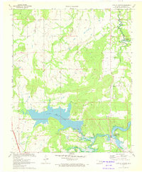
1971 Map of Lake Mc Alester
USGS Topo · Published 1972About this map
Lake Mc Alester and the western reaches of the Eufaula Reservoir dominate this 1971 landscape in Pittsburg County. The map details a period of transition where modern infrastructure like the Indian Nation Turnpike and an aqueduct intersect with established rural landmarks. Settlement patterns are visible at Mekko and its associated Mekko Ch, while local recreation is centered around Camp Hudgens and Camp Craig along the lake's southern finger. The terrain shifts from the open Tannehill Prairie in the southwest to the prominence of Bald Mountain in the north. This survey is particularly useful for locating smaller community focal points such as Shady Grove Ch and Shady Grove Cem, which sit near the winding course of Wildhorse Creek and Rock Creek.
Find a feature on this map
28 named features on this map. Tap any name to fly to it.
Don’t see what you’re looking for? This feature index may not catch every label — zoom into the map to look around manually.
Map Details
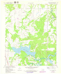
Editions of this 1971 Lake Mc Alester Map
2 editions found
Other maps of this area

1898 · McAlester
USGS Topo · 1:125,000

1900 · Canadian
USGS Topo · 1:125,000

1909 · Mc Alester
USGS Topo · 1:125,000

1946 · Fort Smith
USGS Topo · 1:250,000

1950 · Mcalester
USGS Topo · 1:250,000

1962 · McAlester
USGS Topo · 1:250,000

1965 · Fort Smith
USGS Topo · 1:250,000

1965 · McAlester
USGS Topo · 1:250,000
1966 · Haywood
USGS Topo · 1:24,000

1967 · Fort Smith
USGS Topo · 1:250,000