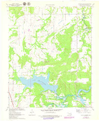
1971 Map of Lake Mc Alester
USGS Topo · Published 1978About this map
Lake Mc Alester and the surrounding Choctaw Country terrain define this 1971 study, capturing the area during a period of significant water management and recreation development. The map details the central reservoir and the northern reaches of Eufaula Lake, where an aqueduct crosses Coal Creek. Local life is anchored by small settlements and camps, including Mekko and its namesake Mekko Ch, as well as Camp Craig and Camp Hudgens along the lakeshore.
Find a feature on this map
26 named features on this map. Tap any name to fly to it.
Don’t see what you’re looking for? This feature index may not catch every label — zoom into the map to look around manually.
Map Details
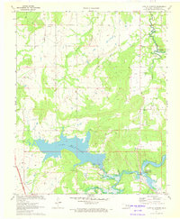
Editions of this 1971 Lake Mc Alester Map
2 editions found
Other maps of this area

1898 · McAlester
USGS Topo · 1:125,000

1900 · Canadian
USGS Topo · 1:125,000

1909 · Mc Alester
USGS Topo · 1:125,000

1946 · Fort Smith
USGS Topo · 1:250,000

1950 · Mcalester
USGS Topo · 1:250,000

1962 · McAlester
USGS Topo · 1:250,000

1965 · Fort Smith
USGS Topo · 1:250,000

1965 · McAlester
USGS Topo · 1:250,000
1966 · Haywood
USGS Topo · 1:24,000

1967 · Fort Smith
USGS Topo · 1:250,000