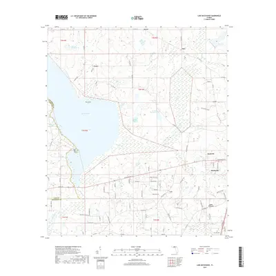
2018 Map of Lake Miccosukee
USGS Topo · Published 2018About this map
Lake Miccosukee dominates this part of the Florida Panhandle, defining a landscape of low-lying wetlands and scattered agricultural settlements along the border of Jefferson and Leon Counties. The town of Monticello sits at the southeastern edge of the map, serving as a focal point for a network of rural roads that connect smaller hamlets like Lois, Casa Blanco, and Montivilla. The terrain is characterized by numerous water bodies, including Raineys Lake, White Pond, and Perkins Plantation Pond, many of which appear to be integrated into the local plantation and timber history of the region.
Find a feature on this map
85 named features on this map. Tap any name to fly to it.
Don’t see what you’re looking for? This feature index may not catch every label — zoom into the map to look around manually.
Map Details
Editions of this 2018 Lake Miccosukee Map
This is the sole edition of this map. No revisions or reprints were ever made.
Other maps of this area

1954 · Lloyd
USGS Topo · 1:24,000

1954 · Valdosta
USGS Topo · 1:250,000

1954 · Tallahassee
USGS Topo · 1:250,000

1955 · Lamont
USGS Topo · 1:24,000

1955 · Waukeenah
USGS Topo · 1:24,000

1956 · Monticello NE
USGS Topo · 1:24,000

1956 · Metcalf
USGS Topo · 1:24,000

1957 · Miccosukee NE
USGS Topo · 1:24,000

1958 · Valdosta
USGS Topo · 1:250,000

1959 · Tallahassee
USGS Topo · 1:250,000