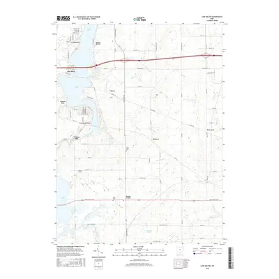
2016 Map of Lake Milton
USGS Topo · Published 2016About this map
Lake Milton and the winding course of the Mahoning River define the character of this corner of Mahoning County. The landscape is a mix of lakeside residential developments like Craig Beach and Sunset Beach alongside more rural, established crossroads. Genealogical interests are well-served by the presence of several local burial grounds, including Vaughn Cem, Eckis Cem, and both the North Berlin Cem and West Berlin Cem near the settlement of Berlin Center. The map tracks the shift from recreational waterfront life at Canyon Park to the agricultural and small-settlement patterns found at Shiltown and Blanco. Significant water features like Turkey Broth Creek and Mill Creek feed into the larger basins, while the site of Shillings Mill points to the area's early riparian industry.
Find a feature on this map
64 named features on this map. Tap any name to fly to it.
Don’t see what you’re looking for? This feature index may not catch every label — zoom into the map to look around manually.
Map Details
Editions of this 2016 Lake Milton Map
This is the sole edition of this map. No revisions or reprints were ever made.
Other maps of this area

1906 · Ravenna
USGS Topo · 1:62,500

1908 · Warren
USGS Topo · 1:62,500

1908 · Ravenna
USGS Topo · 1:62,500

1909 · Alliance
USGS Topo · 1:62,500

1909 · Lisbon
USGS Topo · 1:62,500

1950 · Cleveland
USGS Topo · 1:250,000

1951 · Canton
USGS Topo · 1:250,000

1952 · Lake Milton
USGS Topo · 1:24,000

1952 · Canfield
USGS Topo · 1:24,000

1952 · Alliance
USGS Topo · 1:24,000