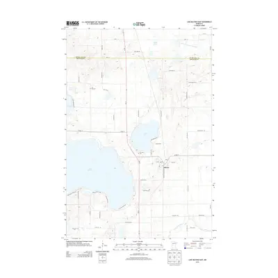
2013 Map of Lake Miltona East
USGS Topo · Published 2013About this map
The settlement of Miltona serves as the focal point for this study of Douglas County's lake-dotted landscape. Situated at the junction of MN-29 and Co HWY-14, the town is surrounded by significant glacial water bodies, most notably the expansive Lake Miltona and the adjacent Lake Irene. The map reveals a high density of secondary roads and local routes like Miltona Carlos Rd NE and Miltona Rd NE, which provide access to shoreline properties and rural farmsteads. Cultural markers and family history points are scattered throughout the quadrangle, including Saint Paul's Cem to the northwest and Mt Calvary Cem near the eastern shore of Lake Irene. To the south, the Long Prairie River meanders across the terrain, while the northern border is defined by the line separating Otter Tail Co and Douglas Co, illustrating the administrative and physical geography of this central Minnesota region.
Find a feature on this map
54 named features on this map. Tap any name to fly to it.
Don’t see what you’re looking for? This feature index may not catch every label — zoom into the map to look around manually.
Map Details
Editions of this 2013 Lake Miltona East Map
This is the sole edition of this map. No revisions or reprints were ever made.
Other maps of this area

1953 · Brainerd
USGS Topo · 1:250,000

1953 · Saint Cloud
USGS Topo · 1:250,000

1957 · Brainerd
USGS Topo · 1:250,000

1957 · Saint Cloud
USGS Topo · 1:250,000

1958 · Saint Cloud
USGS Topo · 1:250,000

1958 · Brainerd
USGS Topo · 1:250,000

1965 · Brainerd
USGS Topo · 1:250,000

1966 · Alexandria West
USGS Topo · 1:24,000

1966 · Lake Osakis West
USGS Topo · 1:24,000

1966 · Alexandria East
USGS Topo · 1:24,000