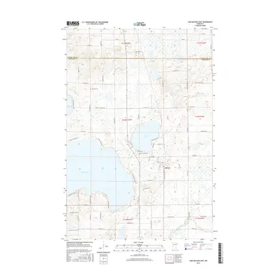
2016 Map of Lake Miltona East
USGS Topo · Published 2016About this map
Miltona serves as the primary settlement on this landscape, positioned east of the large expansive waters of Lake Miltona. The area is defined by a dense network of glacial lakes and wetlands, with Lake Irene and Vermont Lake anchoring the central and western portions of the sheet. The terrain is crisscrossed by a detailed grid of rural routes including Co Rd 14 NE and Co Rd 36 NE, reflecting the organized land divisions of Douglas and Otter Tail counties.
Find a feature on this map
68 named features on this map. Tap any name to fly to it.
Don’t see what you’re looking for? This feature index may not catch every label — zoom into the map to look around manually.
Map Details
Editions of this 2016 Lake Miltona East Map
This is the sole edition of this map. No revisions or reprints were ever made.
Other maps of this area

1953 · Brainerd
USGS Topo · 1:250,000

1953 · Saint Cloud
USGS Topo · 1:250,000

1957 · Brainerd
USGS Topo · 1:250,000

1957 · Saint Cloud
USGS Topo · 1:250,000

1958 · Saint Cloud
USGS Topo · 1:250,000

1958 · Brainerd
USGS Topo · 1:250,000

1965 · Brainerd
USGS Topo · 1:250,000

1966 · Alexandria West
USGS Topo · 1:24,000

1966 · Lake Osakis West
USGS Topo · 1:24,000

1966 · Alexandria East
USGS Topo · 1:24,000