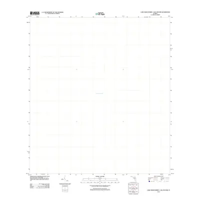
2012 Map of Lake Okeechobee 1 (All Water)
USGS Topo · Published 2012About this map
Lake Okeechobee defines this entire quadrangle, which covers a significant portion of the open water in the central-western section of Palm Beach County. Published by the U.S. Geological Survey in 2012, the map illustrates the sheer scale of Florida’s largest freshwater lake. Unlike traditional topographic maps that detail landform contours and man-made structures, this sheet focuses exclusively on the water's surface and the geographic coordinates of the interior basin. The lack of land features emphasizes the lake's role as a dominant natural feature and a critical hydrologic center for the state, capturing its state as it appeared in the early 21st century.
Find a feature on this map
1 named feature on this map. Tap any name to fly to it.
Don’t see what you’re looking for? This feature index may not catch every label — zoom into the map to look around manually.
Map Details
Editions of this 2012 Lake Okeechobee 1 (All Water) Map
This is the sole edition of this map. No revisions or reprints were ever made.
Other maps of this area

1953 · Okeechobee 4 SW
USGS Topo · 1:24,000

1953 · Okeechobee SW
USGS Topo · 1:24,000

1956 · West Palm Beach
USGS Topo · 1:250,000

1956 · Fort Pierce
USGS Topo · 1:250,000

1957 · West Palm Beach
USGS Topo · 1:250,000

1958 · Fort Pierce
USGS Topo · 1:250,000

1958 · West Palm Beach
USGS Topo · 1:250,000

1959 · Fort Pierce
USGS Topo · 1:250,000

1970 · Pahokee
USGS Topo · 1:24,000
1971 · Clewiston North
USGS Topo · 1:24,000