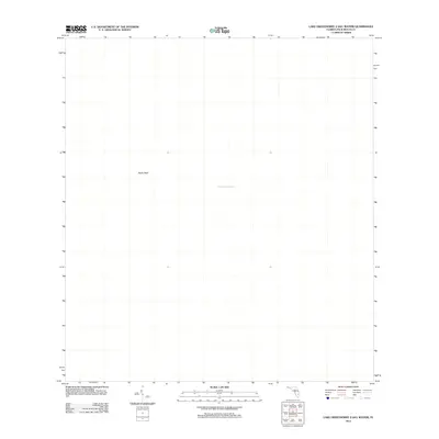
2012 Map of Lake Okeechobee 2 (All Water)
USGS Topo · Published 2012About this map
Lake Okeechobee dominates this 2012 survey, which covers a section of the massive freshwater body in southern Florida. The map focuses on the interior waters of the lake, providing a clear view of the underlying bathymetry and hidden features that define its bed. One of the few topographic variances in this aquatic landscape is Rocky Reef, a named feature that breaks the uniformity of the open water. This edition was produced as part of the National Geospatial Program, utilizing imagery from October 2010 to document the state of the lake just before the turn of the decade. It serves as a specialized reference for the geography of the lake's central-eastern portion within Palm Beach County.
Find a feature on this map
2 named features on this map. Tap any name to fly to it.
Don’t see what you’re looking for? This feature index may not catch every label — zoom into the map to look around manually.
Map Details
Editions of this 2012 Lake Okeechobee 2 (All Water) Map
This is the sole edition of this map. No revisions or reprints were ever made.
Other maps of this area

1956 · West Palm Beach
USGS Topo · 1:250,000

1957 · West Palm Beach
USGS Topo · 1:250,000

1958 · West Palm Beach
USGS Topo · 1:250,000

1970 · Lake Harbor
USGS Topo · 1:24,000

1970 · Belle Glade
USGS Topo · 1:24,000

1970 · Clewiston South
USGS Topo · 1:24,000

1970 · Pahokee
USGS Topo · 1:24,000
1971 · Clewiston North
USGS Topo · 1:24,000
1971 · Cochrans Pass
USGS Topo · 1:24,000
1981 · West Palm Beach
USGS Topo · 1:100,000