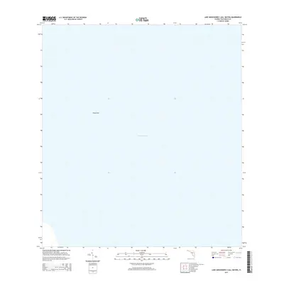
2015 Map of Lake Okeechobee 2 (All Water)
USGS Topo · Published 2015About this map
Lake Okeechobee dominates this 2015 hydrographic survey of a specialized "all water" quadrangle in Florida's Palm Beach Co. interior. The map illustrates a central portion of the lake's expanse, focusing on the aquatic environment rather than land-based development or terrestrial roads. A singular landmark, Rocky Reef, provides a rare point of topographical interest within the water, indicating a shallow area or natural limestone formation beneath the surface. This survey is particularly useful for understanding the lake's contemporary bathymetric context and the precise boundaries of this interior waterway before any significant environmental or structural shifts in the Everglades ecosystem. It represents a specific moment in the digital mapping era, using National Hydrography Dataset information to define the character of one of Florida's most critical water bodies.
Find a feature on this map
2 named features on this map. Tap any name to fly to it.
Don’t see what you’re looking for? This feature index may not catch every label — zoom into the map to look around manually.
Map Details
Editions of this 2015 Lake Okeechobee 2 (All Water) Map
This is the sole edition of this map. No revisions or reprints were ever made.
Other maps of this area

1956 · West Palm Beach
USGS Topo · 1:250,000

1957 · West Palm Beach
USGS Topo · 1:250,000

1958 · West Palm Beach
USGS Topo · 1:250,000

1970 · Lake Harbor
USGS Topo · 1:24,000

1970 · Belle Glade
USGS Topo · 1:24,000

1970 · Clewiston South
USGS Topo · 1:24,000

1970 · Pahokee
USGS Topo · 1:24,000
1971 · Clewiston North
USGS Topo · 1:24,000
1971 · Cochrans Pass
USGS Topo · 1:24,000
1981 · West Palm Beach
USGS Topo · 1:100,000