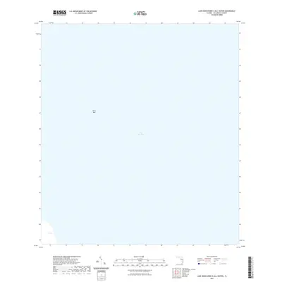
2021 Map of Lake Okeechobee 2 (All Water)
USGS Topo · Published 2021About this map
Lake Okeechobee dominates this 2021 hydrographic study, providing a focused view of the open water within Palm Beach County. The map is largely defined by the expansive surface of Florida's largest freshwater lake, punctuated only by a few submerged or shoreline features like Rocky Reef in the western reaches and Coot Bay at the southwestern corner. As an "all water" quadrangle, it documents the contemporary state of the lake’s interior and near-shore topography prior to the most recent water management shifts. This survey is an essential reference for understanding the modern shoreline and internal navigation markers of this critical South Florida ecosystem.
Find a feature on this map
3 named features on this map. Tap any name to fly to it.
Don’t see what you’re looking for? This feature index may not catch every label — zoom into the map to look around manually.
Map Details
Editions of this 2021 Lake Okeechobee 2 (All Water) Map
This is the sole edition of this map. No revisions or reprints were ever made.
Other maps of this area

1956 · West Palm Beach
USGS Topo · 1:250,000

1957 · West Palm Beach
USGS Topo · 1:250,000

1958 · West Palm Beach
USGS Topo · 1:250,000

1970 · Lake Harbor
USGS Topo · 1:24,000

1970 · Belle Glade
USGS Topo · 1:24,000

1970 · Clewiston South
USGS Topo · 1:24,000

1970 · Pahokee
USGS Topo · 1:24,000
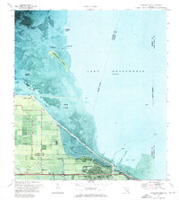
1971 · Clewiston North
USGS Topo · 1:24,000
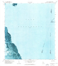
1971 · Cochrans Pass
USGS Topo · 1:24,000
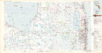
1981 · West Palm Beach
USGS Topo · 1:100,000