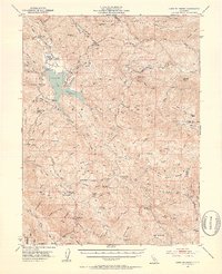
1951 Map of Lake Pillsbury
USGS Topo · Published 1953About this map
Lake Pillsbury and the impounded waters behind Scott Dam anchor this 1951 survey of the Mendocino National Forest. The reservoir, a significant engineering feature on the Eel River, is surrounded by a network of ranching and early mountain industry, including the Howard Mill and Feather Mill located south of the water. High-elevation landmarks like Snow Mountain and Snow Mtn House near the eastern boundary at the Lake Co Glenn Co line provide a clear view of the complex terrain, while fire protection and forest management are evidenced by the Soda Creek Guard Sta and Elk Mountain Guard Sta. Settlement patterns are sparse, defined by isolated outposts such as Fuller Ranch, Faraway Ranch, and the Parramore area, illustrating the remote character of this corner of Lake County during the mid-century era.
Find a feature on this map
94 named features on this map. Tap any name to fly to it.
Don’t see what you’re looking for? This feature index may not catch every label — zoom into the map to look around manually.
Map Details
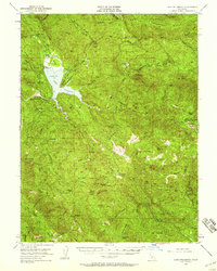
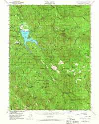
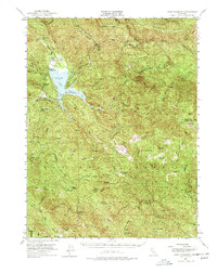
Editions of this 1951 Lake Pillsbury Map
5 editions found

Other maps of this area

1919 · Elk Creek
USGS Topo · 1:62,500

1920 · Ukiah
USGS Topo · 1:62,500

1922 · Hullville
USGS Topo · 1:62,500

1924 · Bartlett Springs
USGS Topo · 1:62,500

1929 · Eden Valley
USGS Topo · 1:62,500

1938 · Lakeport
USGS Topo · 1:62,500

1942 · Bartlett Springs
USGS Topo · 1:62,500

1943 · Pomo
USGS Topo · 1:62,500

1944 · Bartlett Springs
USGS Topo · 1:62,500

1944 · Ukiah
USGS Topo · 1:62,500