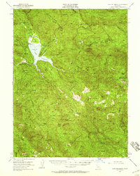
1951 Map of Lake Pillsbury
USGS Topo · Published 1959About this map
Lake Pillsbury serves as the central hub of this remote northern California landscape, created by the containment of the Eel River behind Scott Dam. In the early 1950s, the surrounding Mendocino National Forest supported a mix of timber operations, seasonal ranching, and early wilderness recreation. Local industry is evidenced by the Feather Mill and Howard Mill, while a network of isolated outposts like Cabbage Patch, Boardman Camp, and the Faraway Ranch speak to the area's rugged character.
Find a feature on this map
71 named features on this map. Tap any name to fly to it.
Don’t see what you’re looking for? This feature index may not catch every label — zoom into the map to look around manually.
Map Details
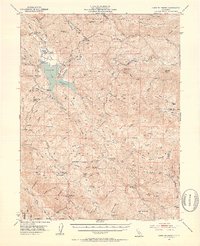
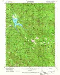
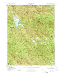
Editions of this 1951 Lake Pillsbury Map
5 editions found

Other maps of this area

1919 · Elk Creek
USGS Topo · 1:62,500

1920 · Ukiah
USGS Topo · 1:62,500

1922 · Hullville
USGS Topo · 1:62,500

1924 · Bartlett Springs
USGS Topo · 1:62,500

1929 · Eden Valley
USGS Topo · 1:62,500

1938 · Lakeport
USGS Topo · 1:62,500

1942 · Bartlett Springs
USGS Topo · 1:62,500

1943 · Pomo
USGS Topo · 1:62,500

1944 · Bartlett Springs
USGS Topo · 1:62,500

1944 · Ukiah
USGS Topo · 1:62,500