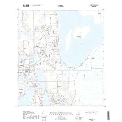
2018 Map of Lake Placid
USGS Topo · Published 2018About this map
Lake Placid serves as the central hub of this Highlands County region, surrounded by a dense concentration of freshwater bodies that define its geography and development. The settlement pattern is dominated by lakeside communities like Sylvan Shores and Sunvale, reflecting the area's mid-century growth and its reliance on the water for both industry and recreation. Significant topographic features like the Lake Wales Ridge provide a distinct contrast to the low-lying basins of Lake Istokpoga and Lake Huntley.
Find a feature on this map
204 named features on this map. Tap any name to fly to it.
Don’t see what you’re looking for? This feature index may not catch every label — zoom into the map to look around manually.
Map Details
Editions of this 2018 Lake Placid Map
This is the sole edition of this map. No revisions or reprints were ever made.
Other maps of this area
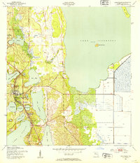
1952 · Lake Placid
USGS Topo · 1:24,000
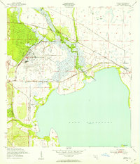
1952 · Lorida
USGS Topo · 1:24,000
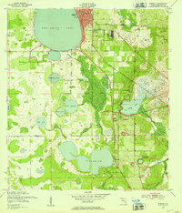
1952 · Sebring
USGS Topo · 1:24,000
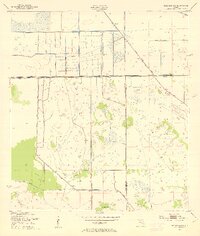
1953 · Brighton NW
USGS Topo · 1:24,000
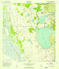
1953 · Lake June In Winter
USGS Topo · 1:24,000
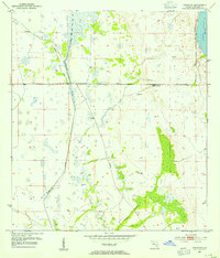
1953 · Venus NW
USGS Topo · 1:24,000
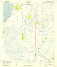
1953 · Basinger SW
USGS Topo · 1:24,000
1953 · Basinger NW
USGS Topo · 1:24,000
1953 · Childs
USGS Topo · 1:24,000
1956 · Fort Pierce
USGS Topo · 1:250,000