2024 Map of Lake Placid
USGS Topo · Published 2024About this map
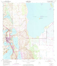
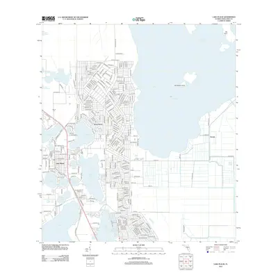
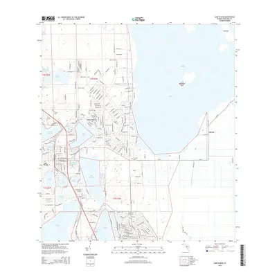
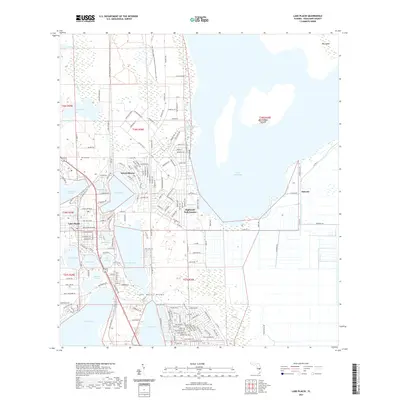
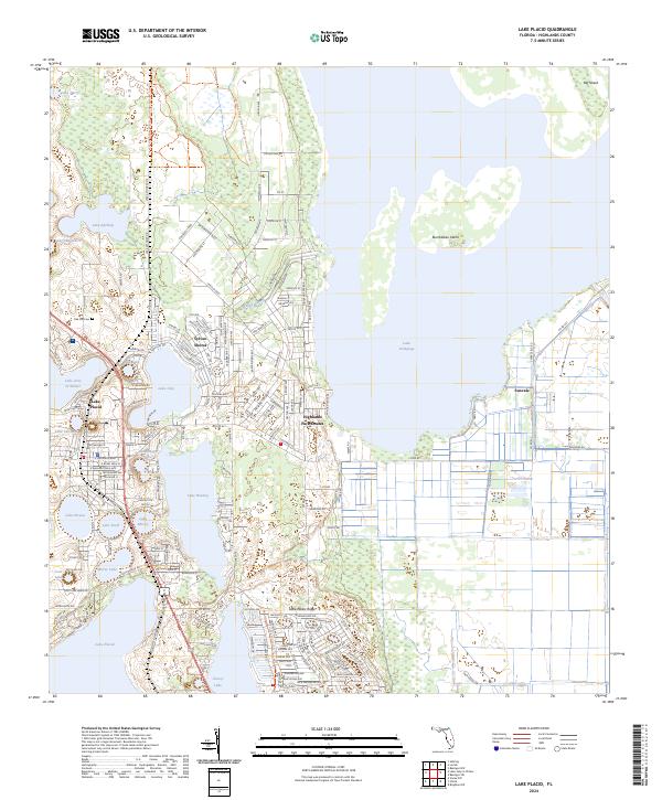
The town of Lake Placid and its surrounding freshwater bodies define this central Florida landscape, situated within the ecological corridor of the Lake Wales Ridge. Residential developments such as Sylvan Shores, Highlands Park Estates, and Sunvale are interwoven with numerous lakes, including the expansive Lake Istokpoga to the east and Lake June in Winter to the west. The map provides a detailed view of the local street grid, featuring names like Roosevelt Blvd and Washington Blvd, which indicate the planned growth of these lakeside communities.
Find a feature on this map
173 named features on this map. Tap any name to fly to it.
Don’t see what you’re looking for? This feature index may not catch every label — zoom into the map to look around manually.
Map Details
Editions of this 2024 Lake Placid Map
This is the sole edition of this map. No revisions or reprints were ever made.
Historical Maps of Lake Placid Through Time
6 maps found