
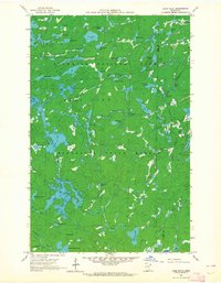
1960 Map of Lake Polly
USGS Topo · Published 1962About this map
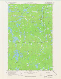
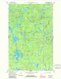
Kawishiwi River and the Louse River wind through a dense wilderness of interconnected waterways and glacial terrain at the dawn of the 1960s. This survey, conducted with cooperation from the Iron Range Resources and Rehabilitation Commission, documents the remote northern interior of the Superior National Forest and the Minnesota State Forest. The map captures a landscape defined by water and isolation, where named features such as Adams Lake, Malberg Lake, and John Ek Lake indicate the intricate drainage patterns of the region. A notable administrative boundary, the Lake Co Cook Co line, bisects the eastern portion of the quadrangle. The inclusion of areas marked as (Restricted) near the southern reaches suggests specific land use or conservation designations during this era of forest management.
Find a feature on this map
54 named features on this map. Tap any name to fly to it.
Don’t see what you’re looking for? This feature index may not catch every label — zoom into the map to look around manually.
Map Details
Editions of this 1960 Lake Polly Map
4 editions found
Other maps of this area

1954 · Two Harbors
USGS Topo · 1:250,000

1957 · Two Harbors
USGS Topo · 1:250,000

1957 · Quetico
USGS Topo · 1:250,000

1958 · Two Harbors
USGS Topo · 1:250,000

1959 · Ogishkemuncie Lake
USGS Topo · 1:24,000

1959 · Kekekabic Lake
USGS Topo · 1:24,000

1959 · Gillis Lake
USGS Topo · 1:24,000

1960 · Kawishiwi Lake
USGS Topo · 1:24,000

1960 · Perent Lake
USGS Topo · 1:24,000

1960 · Beth Lake
USGS Topo · 1:24,000