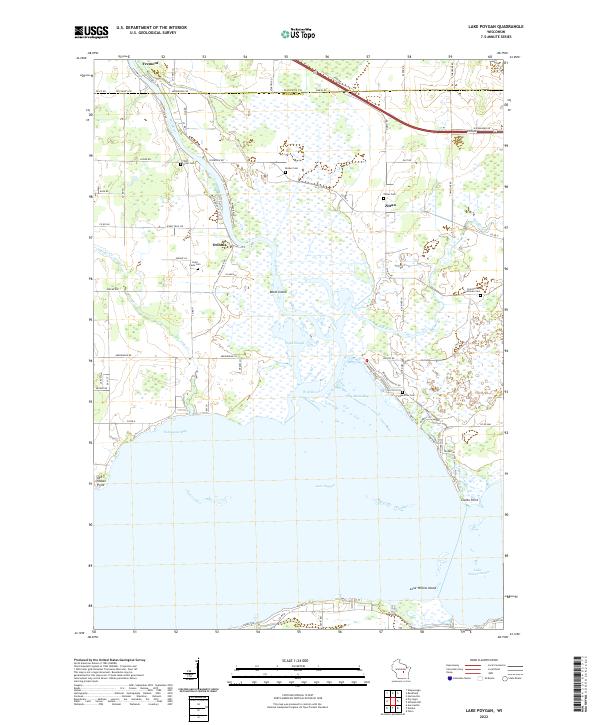
2022 Map of Lake Poygan
USGS Topo · Published 2022About this map
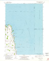
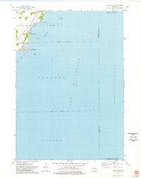
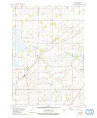
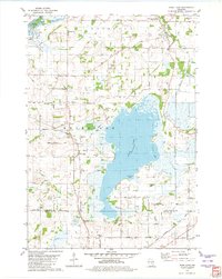
Lake Poygan and its intricate northern wetlands dominate this 2022 survey of the Winnebago and Waupaca county line. The Wolf River snakes south from Fremont, feeding into Norwegian Bay and creating a complex network of channels and backwaters such as Pages Slough and Boom Bay. On the northern shores, the small settlements of Orihula and Zittau serve as historical anchors for the surrounding agricultural lands. Genealogists can trace several local burial sites, including River Cem, Becker Cem, and the Saint Peters Lutheran Cem located on the eastern edge of the quadrangle. The map also detail the southern reaches where the lake narrows toward Lake Winneconne, featuring landmarks like Lone Willow Island and Clarks Point. This modern topographic study reveals how the hydrology of the Fox River Valley continues to shape the residential and rural patterns of central Wisconsin.
Find a feature on this map
55 named features on this map. Tap any name to fly to it.
Don’t see what you’re looking for? This feature index may not catch every label — zoom into the map to look around manually.
Map Details
Editions of this 2022 Lake Poygan Map
This is the sole edition of this map. No revisions or reprints were ever made.
Historical Maps of Wolf River Through Time
17 maps found
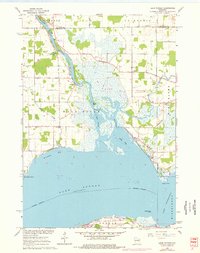
1961 Lake Poygan
Winnebago County, WI
1961 Oshkosh NE
Winnebago County, WI
1961 Oshkosh NW
Winnebago County, WI
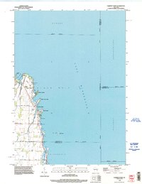
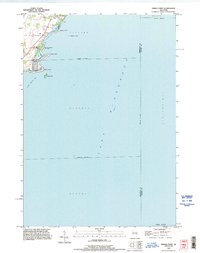
1974 Fahrney Point
Winnebago County, WI
1974 Indian Point
Winnebago County, WI
1980 Pickett
Winnebago County, WI
1980 Rush Lake
Winnebago County, WI
1992 Fahrney Point
Winnebago County, WI
1992 Indian Point
Winnebago County, WI
1992 Oshkosh NE
Winnebago County, WI
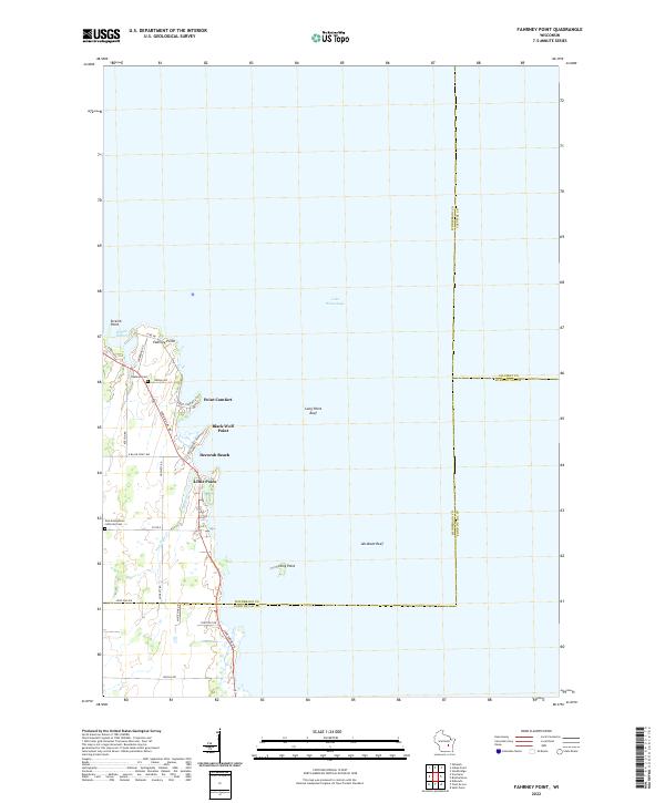
2022 Fahrney Point
Winnebago County, WI
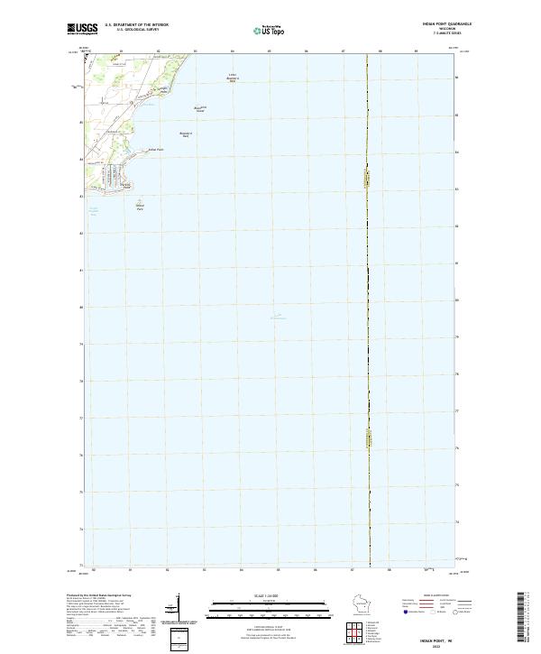
2022 Indian Point
Winnebago County, WI
2022 Lake Poygan
Winnebago County, WI
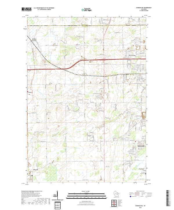
2022 Oshkosh NE
Winnebago County, WI
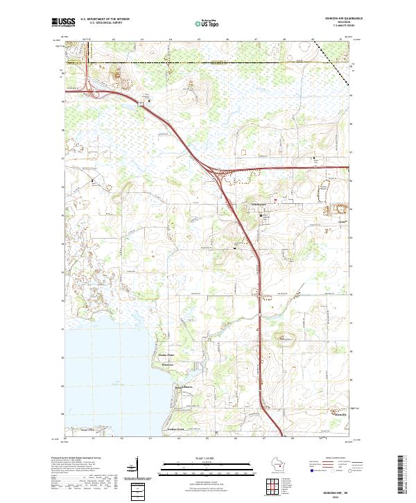
2022 Oshkosh NW
Winnebago County, WI
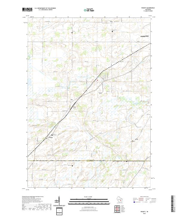
2022 Pickett
Winnebago County, WI
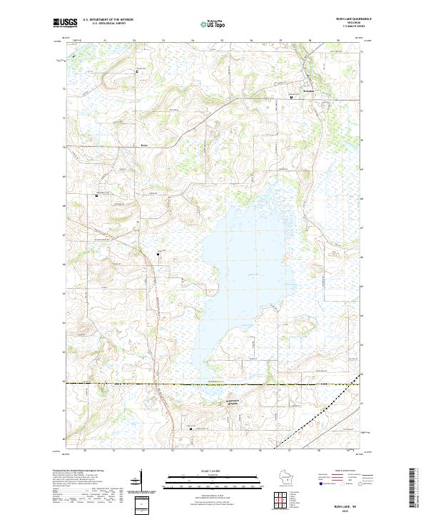
2022 Rush Lake
Winnebago County, WI