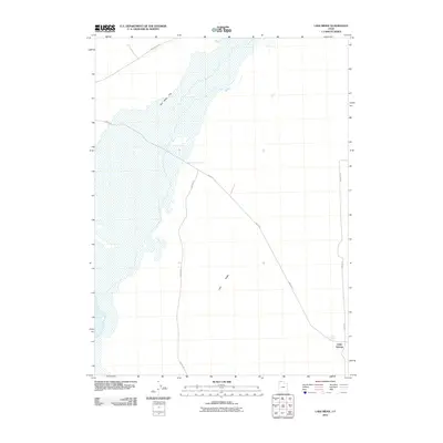
2011 Map of Lake Ridge
USGS Topo · Published 2011About this map
Salt Wells Flat dominates the northwestern expanse of this high-desert landscape in Box Elder County, showing a vast area of seasonal inundation or alkaline surface. The terrain is defined by the steady rise toward Lake Ridge to the southeast, a transition from the low-lying flats to higher ground. Human presence in this arid region is sparse and primarily oriented around isolated water sources and a network of desert roads. Cedar Springs and the associated Cedar Spring serve as the primary named focal point in the southeast corner. A series of graded routes, including Salt Wells Rd and 7480 W Rd, provide the essential transportation skeleton for this portion of the Great Salt Lake desert fringe during the early 21st century.
Find a feature on this map
8 named features on this map. Tap any name to fly to it.
Don’t see what you’re looking for? This feature index may not catch every label — zoom into the map to look around manually.
Map Details
Editions of this 2011 Lake Ridge Map
This is the sole edition of this map. No revisions or reprints were ever made.
Other maps of this area

1954 · Brigham City
USGS Topo · 1:250,000

1958 · Brigham City
USGS Topo · 1:250,000

1962 · Brigham City
USGS Topo · 1:250,000

1967 · Golden Spike Monument
USGS Topo · 1:24,000

1968 · Rozel
USGS Topo · 1:24,000

1968 · Lake Ridge
USGS Topo · 1:24,000

1968 · Sunset Pass
USGS Topo · 1:24,000

1968 · Monument Point
USGS Topo · 1:24,000

1968 · Coyote Point
USGS Topo · 1:24,000

1968 · Salt Wells
USGS Topo · 1:24,000