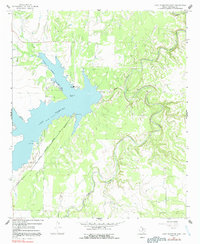
1966 Map of Lake Stamford East
USGS Topo · Published 1992About this map
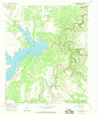
Lake Stamford dominates the terrain of Haskell County, serving as a critical water resource and infrastructure hub for the surrounding Texas plains. The map illustrates a landscape defined by the convergence of Horse Creek, Paint Creek, and California Creek, which feed into the reservoir. Industrial and utility infrastructure is prominently marked, including a Powerplant with its associated Powerplant Outlet, a Pumping Sta, and an Aqueduct system that underscores the region's managed water economy in the mid-1960s.
Find a feature on this map
15 named features on this map. Tap any name to fly to it.
Don’t see what you’re looking for? This feature index may not catch every label — zoom into the map to look around manually.
Map Details
Editions of this 1966 Lake Stamford East Map
2 editions found
Other maps of this area

1891 · Anson
USGS Topo · 1:125,000

1892 · Albany
USGS Topo · 1:125,000

1893 · Albany
USGS Topo · 1:125,000

1893 · Anson
USGS Topo · 1:125,000

1954 · Abilene
USGS Topo · 1:250,000

1954 · Wichita Falls
USGS Topo · 1:250,000

1958 · Wichita Falls
USGS Topo · 1:250,000

1958 · Abilene
USGS Topo · 1:250,000

1965 · Lueders NW
USGS Topo · 1:24,000

1965 · Lueders NE
USGS Topo · 1:24,000