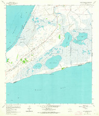
1961 Map of Lake Stephenson
USGS Topo · Published 1964About this map
Gordy Marsh and Willow Marsh dominate this coastal landscape at the edge of Trinity Bay and East Bay. This 1961 revision reveals an economy deeply tied to petroleum extraction, featuring the White Lake Oil Field, Mays Oil Field, and Lake Stephenson Oil Field. A complex network of pipelines and unimproved roads connects these operations across the wet terrain, alongside a notable Landing Strip near the marsh's edge.
Find a feature on this map
23 named features on this map. Tap any name to fly to it.
Don’t see what you’re looking for? This feature index may not catch every label — zoom into the map to look around manually.
Map Details
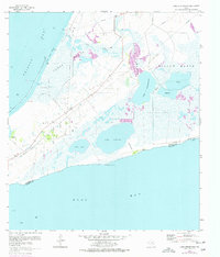
Editions of this 1961 Lake Stephenson Map
2 editions found
Other maps of this area

1931 · Flake
USGS Topo · 1:24,000

1931 · Frozen Point
USGS Topo · 1:24,000

1932 · Bolivar Point
USGS Topo · 1:24,000

1933 · Frozen Point
USGS Topo · 1:31,680

1933 · Caplen
USGS Topo · 1:31,680

1933 · Whites Lake
USGS Topo · 1:31,680

1933 · Smith Point
USGS Topo · 1:31,680

1933 · Bolivar Point
USGS Topo · 1:31,680

1933 · Flake
USGS Topo · 1:31,680

1943 · West of Eagle
USGS Topo · 1:31,680