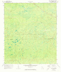
1972 Map of Lake Talquin SE
USGS Topo · Published 1973About this map
Apalachicola National Forest dominates the landscape of this Florida panhandle survey, revealing a vast network of wetlands and seasonal water bodies during the early 1970s. The terrain is characterized by large, swampy depressions known locally as bays, including Freeman Bay, Wolf Trap Bay, and Grand Bay. These features, along with the headwaters of the Sopchoppy R, illustrate the complex hydrology of the region before modern drainage or development altered the natural flow of the East Branch and West Branch streams.
Find a feature on this map
18 named features on this map. Tap any name to fly to it.
Don’t see what you’re looking for? This feature index may not catch every label — zoom into the map to look around manually.
Map Details
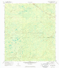
Editions of this 1972 Lake Talquin SE Map
2 editions found
Other maps of this area

1940 · Tallahassee
USGS Topo · 1:62,500

1940 · Arran
USGS Topo · 1:62,500

1942 · Tallahassee
USGS Topo · 1:62,500

1943 · Arran
USGS Topo · 1:62,500

1943 · Tallahassee
USGS Topo · 1:62,500

1943 · Lake Talquin
USGS Topo · 1:62,500

1945 · Smith Creek
USGS Topo · 1:31,680

1945 · Bradwell Bay
USGS Topo · 1:31,680

1954 · Tallahassee
USGS Topo · 1:250,000

1959 · Tallahassee
USGS Topo · 1:250,000