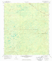
1972 Map of Lake Talquin SE
USGS Topo · Published 1985About this map
Apalachicola National Forest dominates this 1970s landscape, illustrating a heavily forested and marshy terrain spanning the Leon Co and Wakulla Co line. The area is characterized by numerous low-lying "bays" or wetlands, including Freeman Bay, Wolf Trap Bay, and Grand Bay, which form the headwaters for several regional drainages. Human presence is marked by isolated outposts such as Otter Camp, Buck Horn Camp, and the Brown House, connected by an intricate network of primitive trails and jeep trails.
Find a feature on this map
17 named features on this map. Tap any name to fly to it.
Don’t see what you’re looking for? This feature index may not catch every label — zoom into the map to look around manually.
Map Details
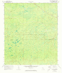
Editions of this 1972 Lake Talquin SE Map
2 editions found
Other maps of this area

1940 · Tallahassee
USGS Topo · 1:62,500

1940 · Arran
USGS Topo · 1:62,500

1942 · Tallahassee
USGS Topo · 1:62,500

1943 · Arran
USGS Topo · 1:62,500

1943 · Tallahassee
USGS Topo · 1:62,500

1943 · Lake Talquin
USGS Topo · 1:62,500

1945 · Smith Creek
USGS Topo · 1:31,680

1945 · Bradwell Bay
USGS Topo · 1:31,680

1954 · Tallahassee
USGS Topo · 1:250,000

1959 · Tallahassee
USGS Topo · 1:250,000