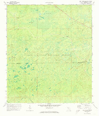
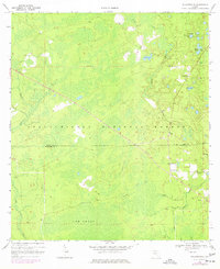
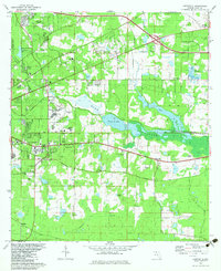
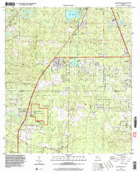
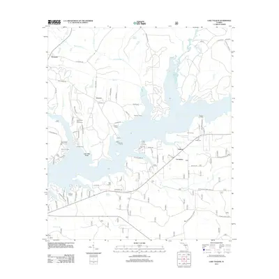
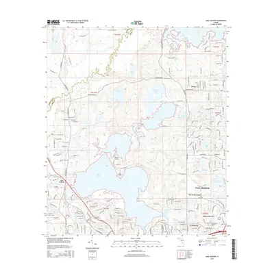
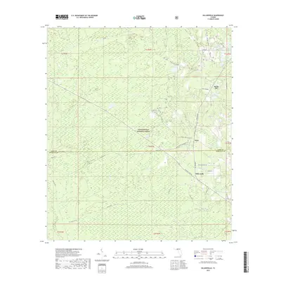
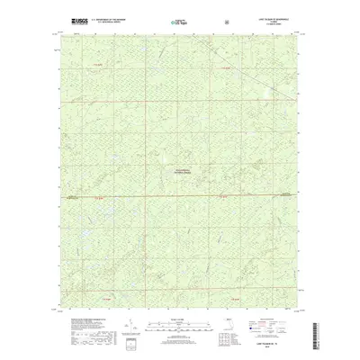
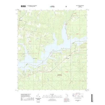
1972 Map of Lake Talquin SE
USGS Topo · Published 1973About this map
Apalachicola National Forest dominates the landscape of this Florida panhandle survey, revealing a vast network of wetlands and seasonal water bodies during the early 1970s. The terrain is characterized by large, swampy depressions known locally as bays, including Freeman Bay, Wolf Trap Bay, and Grand Bay. These features, along with the headwaters of the Sopchoppy R, illustrate the complex hydrology of the region before modern drainage or development altered the natural flow of the East Branch and West Branch streams.
Find a feature on this map
18 named features on this map. Tap any name to fly to it.
Don’t see what you’re looking for? This feature index may not catch every label — zoom into the map to look around manually.
Map Details
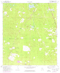
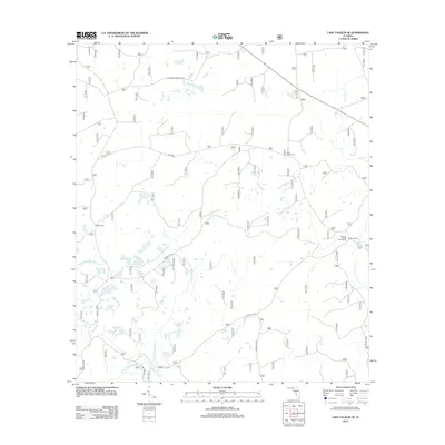
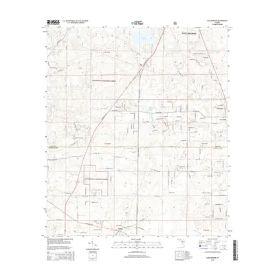
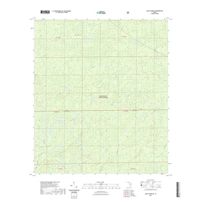
Editions of this 1972 Lake Talquin SE Map
2 editions found
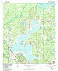
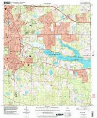
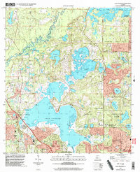
Historical Maps of Leon County Through Time
42 maps found
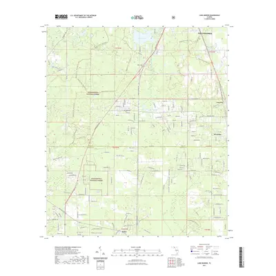
1943 Lake Talquin
Leon County, FL
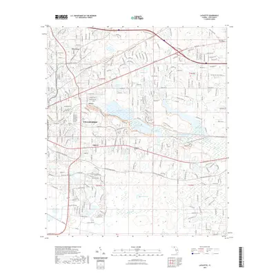
1954 Lafayette
Leon County, FL
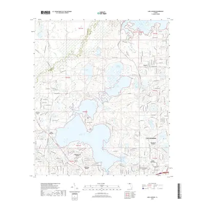
1963 Lake Jackson
Leon County, FL
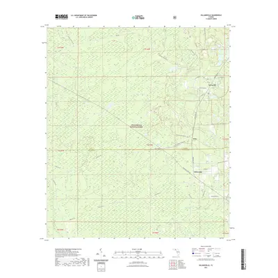
1969 Hilliardville
Leon County, FL
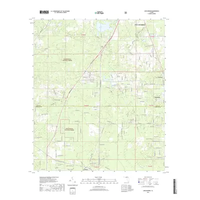
1969 Lake Munson
Leon County, FL
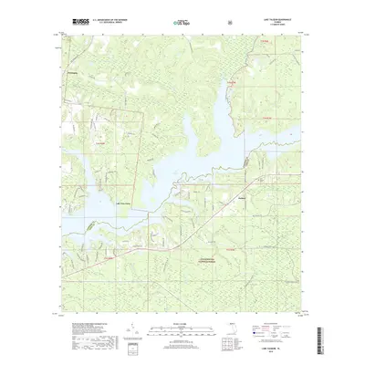
1972 Lake Talquin
Leon County, FL
1972 Lake Talquin SE
Leon County, FL
1982 Lafayette
Leon County, FL
1982 Lake Jackson
Leon County, FL
1999 Lafayette
Leon County, FL
1999 Lake Jackson
Leon County, FL
1999 Lake Munson
Leon County, FL
2012 Hilliardville
Leon County, FL

2012 Lafayette
Leon County, FL
2012 Lake Jackson
Leon County, FL
2012 Lake Munson
Leon County, FL
2012 Lake Talquin
Leon County, FL
2012 Lake Talquin SE
Leon County, FL
2015 Hilliardville
Leon County, FL
2015 Lafayette
Leon County, FL
2015 Lake Jackson
Leon County, FL
2015 Lake Munson
Leon County, FL
2015 Lake Talquin
Leon County, FL
2015 Lake Talquin SE
Leon County, FL
2018 Hilliardville
Leon County, FL

2018 Lafayette
Leon County, FL
2018 Lake Jackson
Leon County, FL
2018 Lake Munson
Leon County, FL
2018 Lake Talquin
Leon County, FL
2018 Lake Talquin SE
Leon County, FL
2021 Hilliardville
Leon County, FL
2021 Lafayette
Leon County, FL

2021 Lake Jackson
Leon County, FL
2021 Lake Munson
Leon County, FL
2021 Lake Talquin
Leon County, FL
2021 Lake Talquin SE
Leon County, FL
2024 Hilliardville
Leon County, FL
2024 Lafayette
Leon County, FL
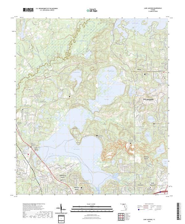
2024 Lake Jackson
Leon County, FL
2024 Lake Munson
Leon County, FL
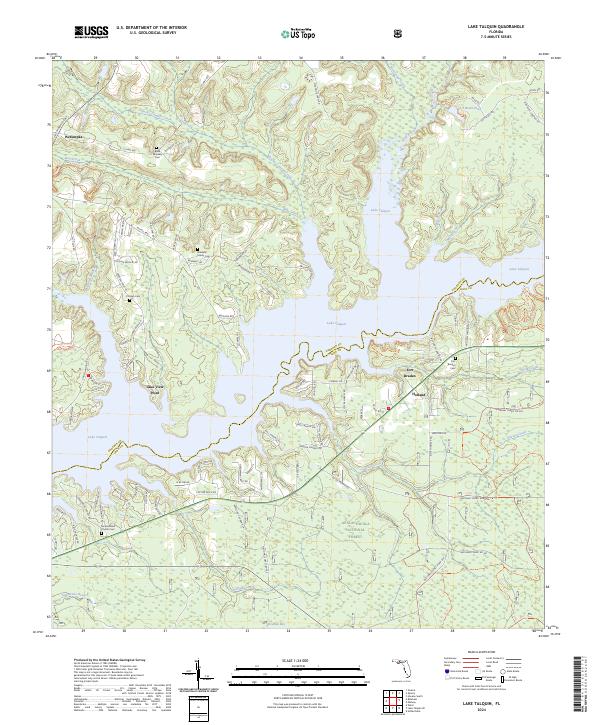
2024 Lake Talquin
Leon County, FL
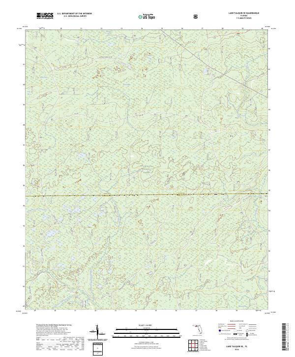
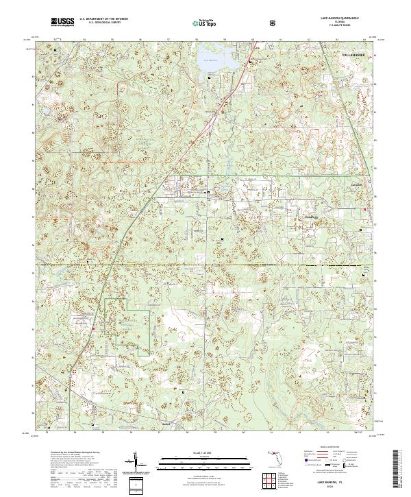
2024 Lake Talquin SE
Leon County, FL