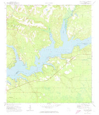
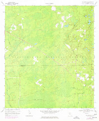
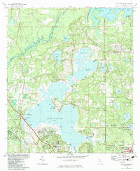
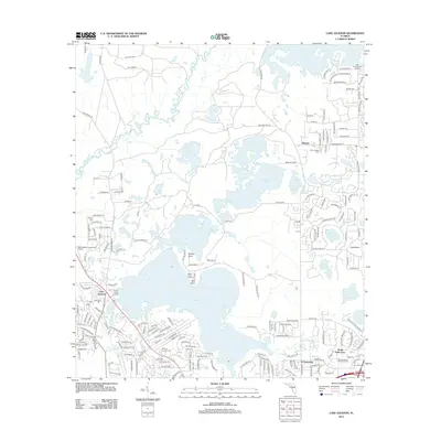
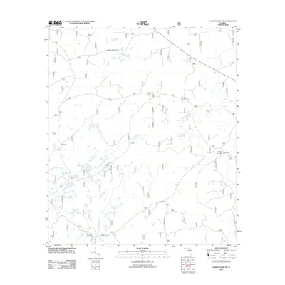
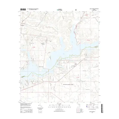
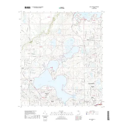
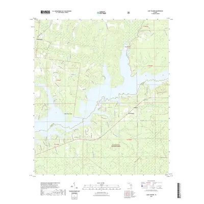
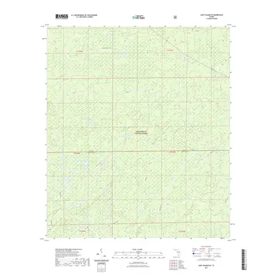
1972 Map of Lake Talquin
USGS Topo · Published 1973About this map
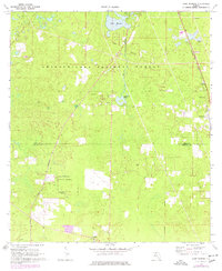
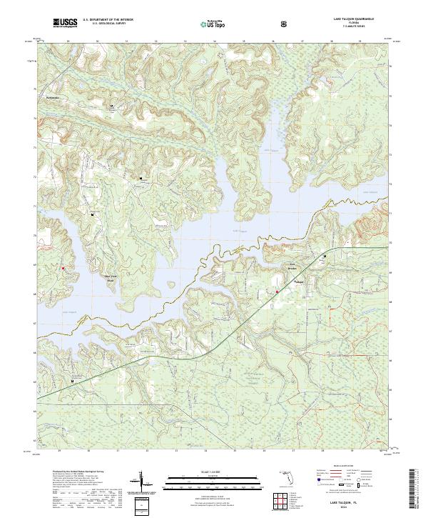
Lake Talquin dominates the landscape at the meeting point of Gadsden and Leon counties, its sprawling waters fed by the Little River and Rocky Comfort Creek. The early 1970s character of the area is defined by a series of small landings providing access to the reservoir, including Williams Landing, Vause Landing, and Wainright Landing. The northern reaches of the Apalachicola National Forest border the southern shores, where the terrain is marked by seasonal drainages like Soapstone Br and Freeman Creek. Local community life centers around the settlement of Holland, which is anchored by the Fort Braden Ch, its associated Fort Braden Cem, and the nearby Fort Braden Sch. Further north, Wetumpka sits near the headwaters of Bear Creek, while the northwestern corner of the quadrangle is preserved within Bear Creek State Park.
Find a feature on this map
31 named features on this map. Tap any name to fly to it.
Don’t see what you’re looking for? This feature index may not catch every label — zoom into the map to look around manually.
Map Details
Editions of this 1972 Lake Talquin Map
This is the sole edition of this map. No revisions or reprints were ever made.
Historical Maps of Lake View Point Through Time
42 maps found
1943 Lake Talquin
Leon County, FL
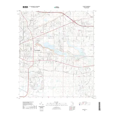
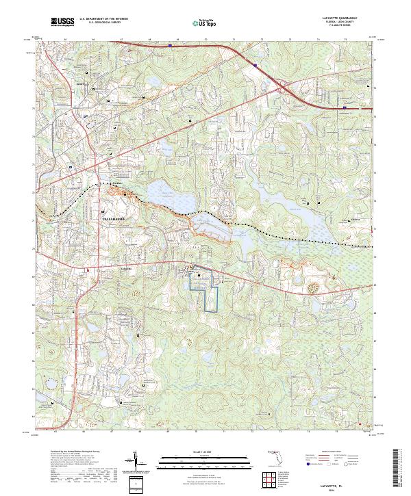
1954 Lafayette
Leon County, FL
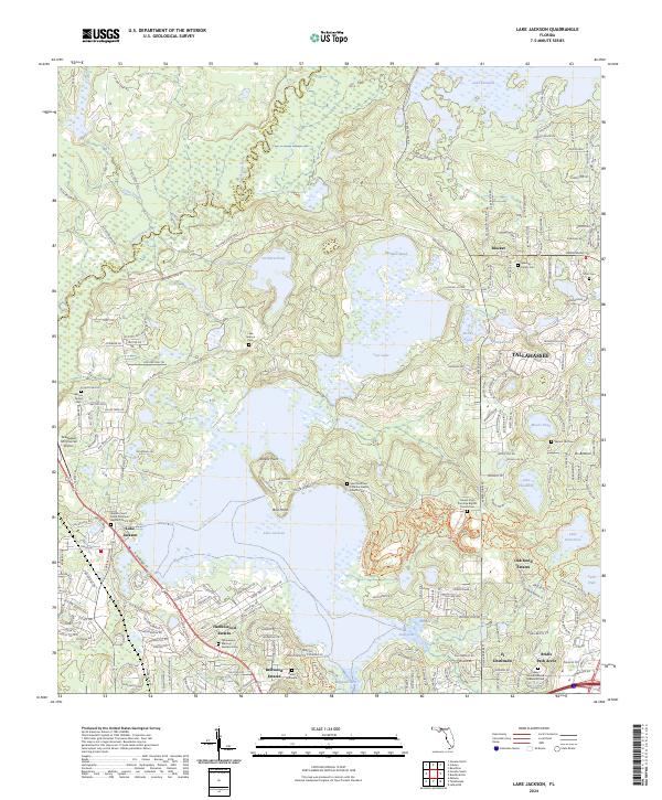
1963 Lake Jackson
Leon County, FL
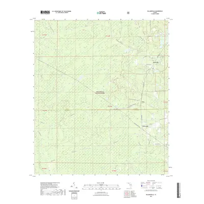
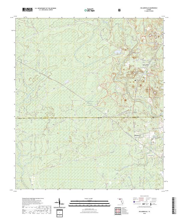
1969 Hilliardville
Leon County, FL
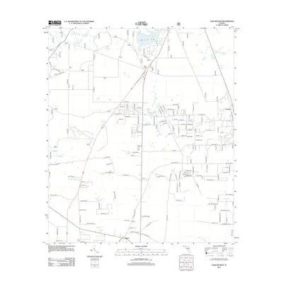
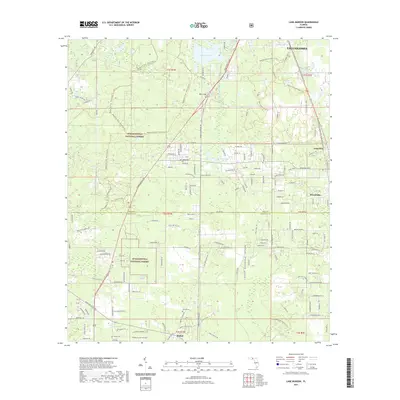
1969 Lake Munson
Leon County, FL
1972 Lake Talquin
Leon County, FL
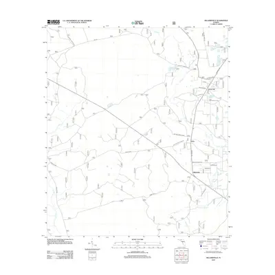
1972 Lake Talquin SE
Leon County, FL
1982 Lafayette
Leon County, FL
1982 Lake Jackson
Leon County, FL
1999 Lafayette
Leon County, FL
1999 Lake Jackson
Leon County, FL
1999 Lake Munson
Leon County, FL
2012 Hilliardville
Leon County, FL

2012 Lafayette
Leon County, FL
2012 Lake Jackson
Leon County, FL
2012 Lake Munson
Leon County, FL
2012 Lake Talquin
Leon County, FL
2012 Lake Talquin SE
Leon County, FL
2015 Hilliardville
Leon County, FL
2015 Lafayette
Leon County, FL
2015 Lake Jackson
Leon County, FL
2015 Lake Munson
Leon County, FL
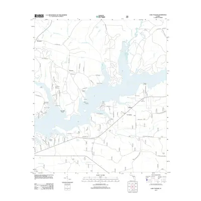
2015 Lake Talquin
Leon County, FL
2015 Lake Talquin SE
Leon County, FL
2018 Hilliardville
Leon County, FL

2018 Lafayette
Leon County, FL
2018 Lake Jackson
Leon County, FL
2018 Lake Munson
Leon County, FL
2018 Lake Talquin
Leon County, FL
2018 Lake Talquin SE
Leon County, FL
2021 Hilliardville
Leon County, FL
2021 Lafayette
Leon County, FL

2021 Lake Jackson
Leon County, FL
2021 Lake Munson
Leon County, FL
2021 Lake Talquin
Leon County, FL
2021 Lake Talquin SE
Leon County, FL
2024 Hilliardville
Leon County, FL
2024 Lafayette
Leon County, FL
2024 Lake Jackson
Leon County, FL
2024 Lake Munson
Leon County, FL
2024 Lake Talquin
Leon County, FL
2024 Lake Talquin SE
Leon County, FL