
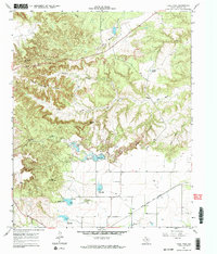
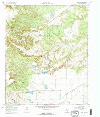
1967 Map of Lake Theo
USGS Topo · Published 1970About this map
Lake Theo and its neighboring reservoirs sit at the heart of this late-1960s landscape, where the broken terrain of the Texas Panhandle transitions into the Caprock canyons. The map documents an area defined by water management and topography, featuring several significant impoundments including Hawkins Lake and Dry Creek Lake, as well as distinct elevation markers like Eagles Point and Old Flat Top.
Find a feature on this map
24 named features on this map. Tap any name to fly to it.
Don’t see what you’re looking for? This feature index may not catch every label — zoom into the map to look around manually.
Map Details
Editions of this 1967 Lake Theo Map
3 editions found
Other maps of this area

1954 · Plainview
USGS Topo · 1:250,000

1958 · Plainview
USGS Topo · 1:250,000

1960 · Indian Peak
USGS Topo · 1:62,500

1960 · Brice
USGS Topo · 1:62,500

1967 · Quitaque
USGS Topo · 1:24,000

1967 · Edgemon Lake
USGS Topo · 1:24,000

1967 · Hay Lake
USGS Topo · 1:24,000

1967 · Turkey
USGS Topo · 1:24,000
1967 · Folley
USGS Topo · 1:24,000
1976 · Indian Peak SW
USGS Topo · 1:24,000