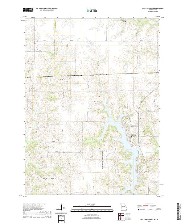
2021 Map of Lake Thunderhead
USGS Topo · Published 2021About this map
The borderlands of northern Missouri and southern Iowa center on Lake Thunderhead, a prominent reservoir that defines the local landscape. This modern survey illustrates the geographic intersection of Wayne County, Appanoose County, and Putnam County, where the settlement of Genoa stands as a focal point in the northwest. The terrain is deeply etched by the winding course of N Blackbird Cr and its tributaries, including S Cr, which drain the undulating hills into the lake.
Find a feature on this map
55 named features on this map. Tap any name to fly to it.
Don’t see what you’re looking for? This feature index may not catch every label — zoom into the map to look around manually.
Map Details
Editions of this 2021 Lake Thunderhead Map
This is the sole edition of this map. No revisions or reprints were ever made.
Other maps of this area

1912 · Green City
USGS Topo · 1:62,500

1914 · Green City
USGS Topo · 1:62,500

1939 · Centerville
USGS Topo · 1:62,500

1941 · Centerville
USGS Topo · 1:62,500

1942 · Seymour
USGS Topo · 1:62,500

1944 · Seymour
USGS Topo · 1:62,500

1954 · Centerville
USGS Topo · 1:250,000

1957 · Centerville
USGS Topo · 1:250,000

1958 · Centerville
USGS Topo · 1:250,000

1964 · Pollock NW
USGS Topo · 1:24,000