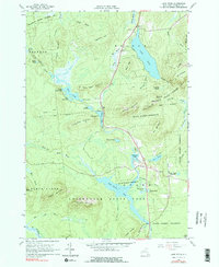
1964 Map of Lake Titus
USGS Topo · Published 1976About this map
Adirondack State Park dominates this portion of Franklin County, where the topography of the northern Adirondacks is defined by prominent peaks and extensive waterways. The sprawling Lake Titus and the Deer River Flow serve as central landmarks, surrounded by heights such as Titusville Mountain and Mt Immortelle. Evidence of small-scale industry and community life appears in the southeastern quadrant near Duane Center, where the Ladd Cem and St Marys Ch sit near the shore of Lake Duane. The landscape is a complex network of glacial features, from the deep Tamarack Swamp to the distinctive granite profile of Elephants Head. This survey reflects an era of preservation, showing the boundaries of the State Forest Preserve alongside scattered human footprints like the Gravel Pits and the quiet waters of Twin Ponds.
Find a feature on this map
62 named features on this map. Tap any name to fly to it.
Don’t see what you’re looking for? This feature index may not catch every label — zoom into the map to look around manually.
Map Details
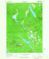
Editions of this 1964 Lake Titus Map
2 editions found
Other maps of this area

1906 · Loon Lake
USGS Topo · 1:62,500

1908 · Loon Lake
USGS Topo · 1:62,500

1915 · Chateaugay
USGS Topo · 1:62,500

1915 · Malone
USGS Topo · 1:62,500

1917 · Malone
USGS Topo · 1:62,500

1921 · Santa Clara
USGS Topo · 1:62,500

1923 · Santa Clara
USGS Topo · 1:62,500

1943 · Chateaugay
USGS Topo · 1:62,500

1948 · Ogdensburg
USGS Topo · 1:250,000

1951 · Ogdensburg
USGS Topo · 1:250,000