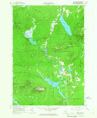
1964 Map of Lake Titus
USGS Topo · Published 1966About this map
Adirondack State Park and the surrounding State Forest Preserve dominate this mid-century landscape in Franklin County, characterized by a complex network of glacial ponds and mountain peaks. The settlement of Duane Center serves as the primary human landmark, anchored by St Marys Ch and the Ladd Cem. Historically significant water bodies like Lake Titus and Lake Duane are fed by numerous watercourses, including the Salmon River and Deer River, reflecting the drainage patterns of the northern Adirondacks.
Find a feature on this map
64 named features on this map. Tap any name to fly to it.
Don’t see what you’re looking for? This feature index may not catch every label — zoom into the map to look around manually.
Map Details
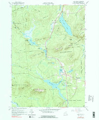
Editions of this 1964 Lake Titus Map
2 editions found
Other maps of this area

1906 · Loon Lake
USGS Topo · 1:62,500

1908 · Loon Lake
USGS Topo · 1:62,500

1915 · Chateaugay
USGS Topo · 1:62,500

1915 · Malone
USGS Topo · 1:62,500

1917 · Malone
USGS Topo · 1:62,500

1921 · Santa Clara
USGS Topo · 1:62,500

1923 · Santa Clara
USGS Topo · 1:62,500

1943 · Chateaugay
USGS Topo · 1:62,500

1948 · Ogdensburg
USGS Topo · 1:250,000

1951 · Ogdensburg
USGS Topo · 1:250,000