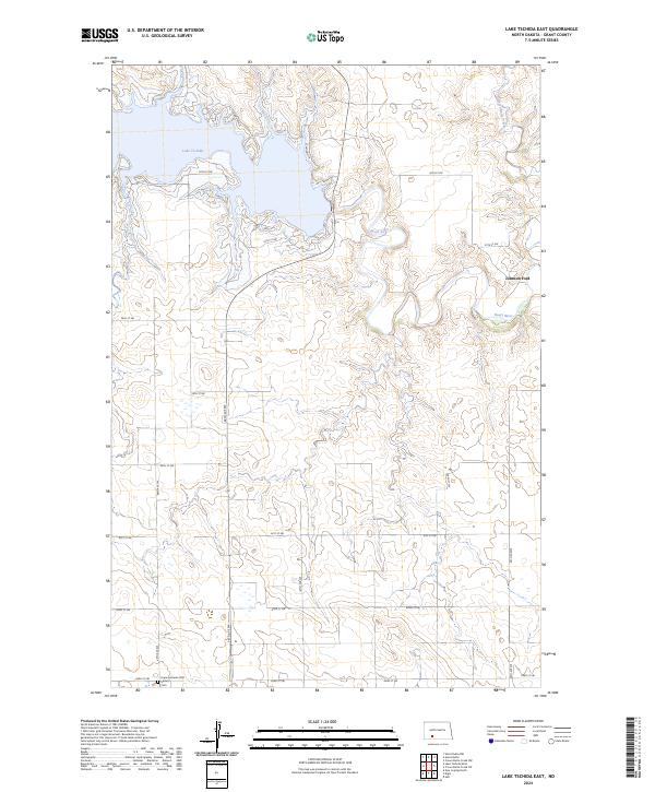
2024 Map of Lake Tschida East
USGS Topo · Published 2024About this map
Lake Tschida dominates the northern reaches of this Grant County landscape, where the reservoir waters meet the winding course of the Heart River. This modern survey reveals a rural prairie environment defined by a strict section-line road grid, including 69th Ave SW and 56th St SW, which overlay the undulating terrain. To the south, the Hope Lutheran (Old Stone) Cem serves as a significant site for genealogists and local historians, anchoring the history of the early Lutheran settler community in this region. Further east along the river valley, Johnson Ford and the mouth of Heart Butte Creek mark traditional crossing points and drainage patterns that have shaped land use in the area for generations.
Find a feature on this map
23 named features on this map. Tap any name to fly to it.
Don’t see what you’re looking for? This feature index may not catch every label — zoom into the map to look around manually.
Map Details
Editions of this 2024 Lake Tschida East Map
This is the sole edition of this map. No revisions or reprints were ever made.
Other maps of this area

1938 · Heart Butte
USGS Topo · 1:48,000

1944 · Heart Butte
USGS Topo · 1:62,500

1954 · Bismarck
USGS Topo · 1:250,000

1958 · Bismarck
USGS Topo · 1:250,000

1960 · Heart Butte NW
USGS Topo · 1:24,000

1960 · Heart Butte
USGS Topo · 1:24,000

1980 · Crown Butte Creek NW
USGS Topo · 1:24,000
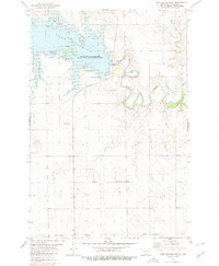
1980 · Lake Tschida East
USGS Topo · 1:24,000

1980 · Heil
USGS Topo · 1:24,000

1980 · Crown Butte Creek SW
USGS Topo · 1:24,000