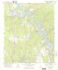
1978 Map of Lake Tuscaloosa South
USGS Topo · Published 1979About this map
Lake Tuscaloosa dominates the northern landscape of this 1970s survey, its sinuous fingers reaching into the valleys of the North River and Hamner Creek. The map documents the recreational and residential development surrounding the reservoir, including Carroll Creek Island County Park and numerous boat ramps along Sexton Bend Road and House Bend Road. South of the lake, the terrain transitions into the growing outskirts of Northport, where traditional landmarks like Union Chapel and Chapel Hill Ch stand alongside newer subdivisions.
Find a feature on this map
58 named features on this map. Tap any name to fly to it.
Don’t see what you’re looking for? This feature index may not catch every label — zoom into the map to look around manually.
Map Details
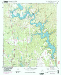
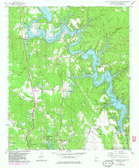
Editions of this 1978 Lake Tuscaloosa South Map
3 editions found
Other maps of this area

1899 · Brookwood
USGS Topo · 1:125,000

1924 · Tuscaloosa
USGS Topo · 1:62,500

1926 · Samantha
USGS Topo · 1:48,000

1926 · Tuscaloosa
USGS Topo · 1:62,500

1928 · Samantha
USGS Topo · 1:62,500

1929 · Searles
USGS Topo · 1:48,000

1931 · Cottondale
USGS Topo · 1:48,000

1934 · Searles
USGS Topo · 1:62,500

1934 · Cottondale
USGS Topo · 1:62,500

1953 · Birmingham
USGS Topo · 1:250,000