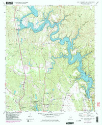
1978 Map of Lake Tuscaloosa South
USGS Topo · Published 1983About this map
Lake Tuscaloosa dominates the northern landscape of this late-1970s survey, where the impounded North River branches into deep coves along Carroll Creek and Hamner Creek. The map documents a period of significant suburban expansion north of Northport and Tuscaloosa, with new residential developments shown in purple revision around Northwood L. Despite this growth, the rural character of the area remains visible through its numerous country churches and family burial grounds.
Find a feature on this map
54 named features on this map. Tap any name to fly to it.
Don’t see what you’re looking for? This feature index may not catch every label — zoom into the map to look around manually.
Map Details
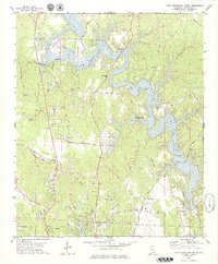
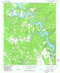
Editions of this 1978 Lake Tuscaloosa South Map
3 editions found
Other maps of this area

1899 · Brookwood
USGS Topo · 1:125,000

1924 · Tuscaloosa
USGS Topo · 1:62,500

1926 · Samantha
USGS Topo · 1:48,000

1926 · Tuscaloosa
USGS Topo · 1:62,500

1928 · Samantha
USGS Topo · 1:62,500

1929 · Searles
USGS Topo · 1:48,000

1931 · Cottondale
USGS Topo · 1:48,000

1934 · Searles
USGS Topo · 1:62,500

1934 · Cottondale
USGS Topo · 1:62,500

1953 · Birmingham
USGS Topo · 1:250,000