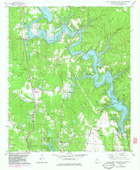
1978 Map of Lake Tuscaloosa South
USGS Topo · Published 1983About this map
Lake Tuscaloosa dominates this landscape, its intricate shoreline carved by flooded tributaries like Tierce Creek, Patton Creek, and Hamner Creek. The map shows a region in transition as the northern reaches of Northport and Tuscaloosa expand toward the water. Recreational and civic developments are prominent, including Munny Sokol Park and Watermelon Road County Park, alongside older rural markers such as Popular Spring Ch and Oak Ridge Cem.
Find a feature on this map
48 named features on this map. Tap any name to fly to it.
Don’t see what you’re looking for? This feature index may not catch every label — zoom into the map to look around manually.
Map Details
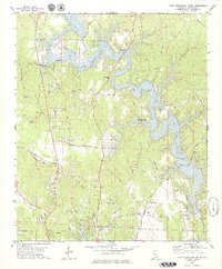
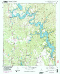
Editions of this 1978 Lake Tuscaloosa South Map
3 editions found
Other maps of this area

1899 · Brookwood
USGS Topo · 1:125,000

1924 · Tuscaloosa
USGS Topo · 1:62,500

1926 · Samantha
USGS Topo · 1:48,000

1926 · Tuscaloosa
USGS Topo · 1:62,500

1928 · Samantha
USGS Topo · 1:62,500

1929 · Searles
USGS Topo · 1:48,000

1931 · Cottondale
USGS Topo · 1:48,000

1934 · Searles
USGS Topo · 1:62,500

1934 · Cottondale
USGS Topo · 1:62,500

1953 · Birmingham
USGS Topo · 1:250,000