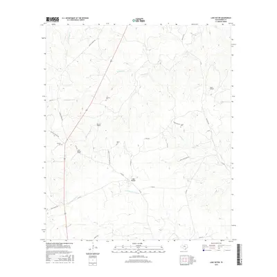
2016 Map of Lake Victor
USGS Topo · Published 2016About this map
Lake Victor serves as the central hub of this Central Texas landscape, where the headwaters of the N Fork San Gabriel River begin their southeastward journey. The area is defined by a series of low-lying hollows and creek beds, including McCain Hollow and the drainage of S Mesquite Cr. Family history is deeply rooted here, evidenced by the numerous small burial grounds dispersed throughout the countryside. These include Dobyville Cem in the west, Tumlinson Cem to the north, and Cauble Cem situated near the head of S Rocky Cr.
Find a feature on this map
35 named features on this map. Tap any name to fly to it.
Don’t see what you’re looking for? This feature index may not catch every label — zoom into the map to look around manually.
Map Details
Editions of this 2016 Lake Victor Map
This is the sole edition of this map. No revisions or reprints were ever made.
Other maps of this area
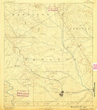
1887 · Lampasas
USGS Topo · 1:125,000
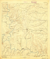
1887 · Burnet
USGS Topo · 1:125,000
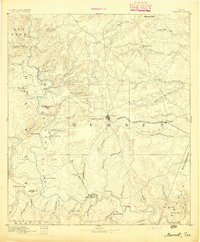
1893 · Burnet
USGS Topo · 1:125,000
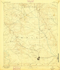
1894 · Lampasas
USGS Topo · 1:125,000
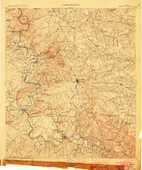
1903 · Burnet
USGS Topo · 1:125,000
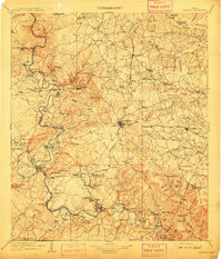
1909 · Burnet
USGS Topo · 1:125,000
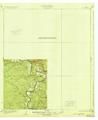
1932 · Tow
USGS Topo · 1:62,500
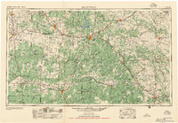
1954 · Brownwood
USGS Topo · 1:250,000
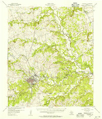
1954 · Lampasas
USGS Topo · 1:62,500
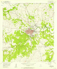
1954 · Lampasas
USGS Topo · 1:24,000