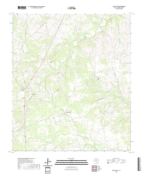
2022 Map of Lake Victor
USGS Topo · Published 2022About this map
The community of Lake Victor sits at a historic crossroads in Burnet County, where the upper reaches of the N Fork San Gabriel River meet the undulating terrain of the Texas Hill Country. This landscape is defined by its deep ancestral roots, evidenced by a high density of rural burial grounds such as Tumlinson Cem, Dobyville Cem, and Warner Cem. The map reveals a transition from traditional ranching lands toward more modern utility, including the private Deer Pasture Airport.
Find a feature on this map
37 named features on this map. Tap any name to fly to it.
Don’t see what you’re looking for? This feature index may not catch every label — zoom into the map to look around manually.
Map Details
Editions of this 2022 Lake Victor Map
This is the sole edition of this map. No revisions or reprints were ever made.
Other maps of this area

1887 · Lampasas
USGS Topo · 1:125,000

1887 · Burnet
USGS Topo · 1:125,000

1893 · Burnet
USGS Topo · 1:125,000

1894 · Lampasas
USGS Topo · 1:125,000

1903 · Burnet
USGS Topo · 1:125,000

1909 · Burnet
USGS Topo · 1:125,000

1932 · Tow
USGS Topo · 1:62,500

1954 · Brownwood
USGS Topo · 1:250,000

1954 · Lampasas
USGS Topo · 1:62,500

1954 · Lampasas
USGS Topo · 1:24,000