Loading...
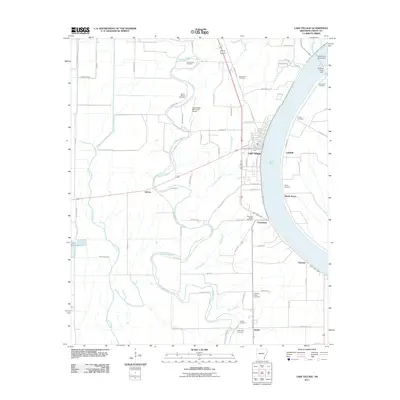
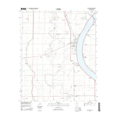
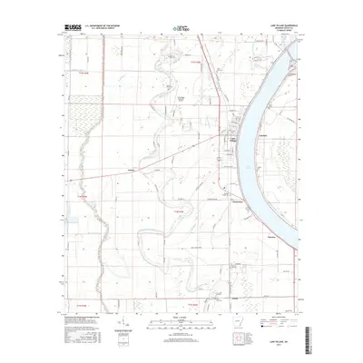
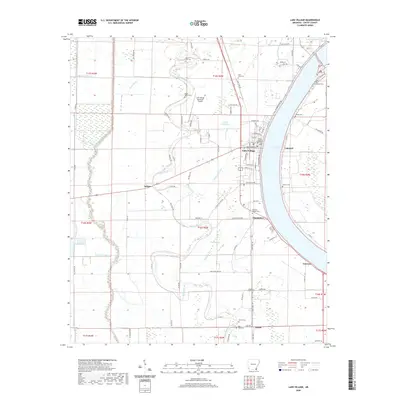
Loading map...1936 Map of Lake Village
USGS Topo · Published 1954About this map
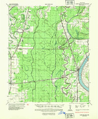
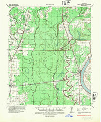
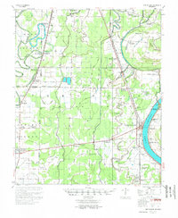
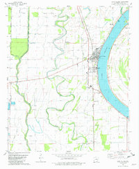
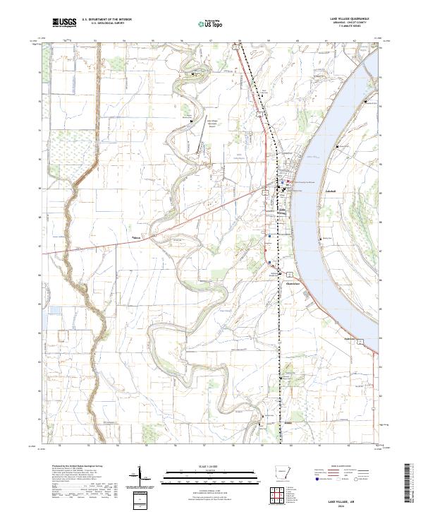
Lake Village sits prominently along the crescent shoreline of Lake Chicot, serving as a central hub in this 1930s landscape dominated by complex hydrology and emerging infrastructure. The map illustrates a delta region defined by its winding waterways, including the serpentine Bayou Bartholomew to the west and the Boeuf River cutting through the center. This era was a critical period for flood control, as indicated by the Mississippi River Commission's work recorded here.
Find a feature on this map
35 named features on this map. Tap any name to fly to it.
Don’t see what you’re looking for? This feature index may not catch every label — zoom into the map to look around manually.
Map Details
Date Portrayed1936
Date Published1954
PublisherU.S. Geological Survey
Map TypeTopographic
Scale1:62,500
Physical Dimensions17.9 x 21.7 inches
Editions of this 1936 Lake Village Map
2 editions found
Historical Maps of Lake Village Through Time
8 maps found
Featured Locations
Source Details
SourceU.S. Geological Survey
CopyrightPublic Domain