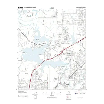
2013 Map of Lake Worth
USGS Topo · Published 2013About this map
Lake Worth and its complex shoreline dominate this Tarrant County landscape, serving as a focal point for suburban development and recreational activity northwest of Fort Worth. The presence of Fort Worth Naval Air Station JRB/Carswell Field highlights the area's long-standing military significance, while institutional landmarks like Camp Carter and Camp Leroy Schuman indicate a legacy of youth education and community outreach. The map shows the suburban growth of Sansom Park, River Oaks, and Lakeside as they wrap around the reservoir's fingers. Distinctive terrain features such as Greer Island and Inspiration Point punctuate the lake, which is fed by the W Fork Trinity River. Smaller aviation history is also present via the Stubbs Strip Airport, located just west of the main residential clusters in the early 2010s.
Find a feature on this map
343 named features on this map. Tap any name to fly to it.
Don’t see what you’re looking for? This feature index may not catch every label — zoom into the map to look around manually.
Map Details
Editions of this 2013 Lake Worth Map
This is the sole edition of this map. No revisions or reprints were ever made.
Other maps of this area

1891 · Weatherford
USGS Topo · 1:125,000

1893 · Weatherford
USGS Topo · 1:125,000

1894 · Fort Worth
USGS Topo · 1:125,000

1932 · Springtown
USGS Topo · 1:62,500

1954 · Dallas
USGS Topo · 1:250,000

1955 · Haltom City
USGS Topo · 1:24,000

1955 · Avondale
USGS Topo · 1:24,000

1955 · Aledo
USGS Topo · 1:24,000

1955 · Azle
USGS Topo · 1:24,000

1955 · Keller
USGS Topo · 1:24,000