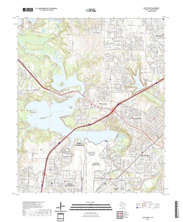
2022 Map of Lake Worth
USGS Topo · Published 2022About this map
The West Fork Trinity River winds through this heavily developed corridor northwest of Fort Worth, where the landscape is defined by the massive footprint of the Fort Worth Naval Air Station Joint Reserve Base (Carswell Field) Airport. Surrounding the base, the residential growth of Westworth Village and White Settlement reflects decades of military-industrial influence. To the north, Lake Worth serves as a primary recreational and geographic anchor, featuring Lake Worth Beach, Inspiration Point, and the protected habitat of Greer Island.
Find a feature on this map
52 named features on this map. Tap any name to fly to it.
Don’t see what you’re looking for? This feature index may not catch every label — zoom into the map to look around manually.
Map Details
Editions of this 2022 Lake Worth Map
This is the sole edition of this map. No revisions or reprints were ever made.
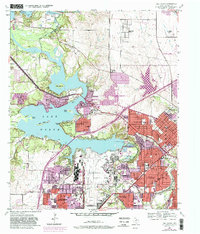
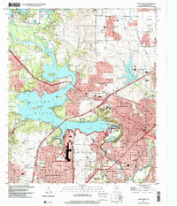
Historical Maps of Lake Crest Estates Through Time
3 maps found